What is recorded here
Indicated is a 27-metre earthen ringfort in County Mayo pasture, cut by a modern road yet still holding its eastern entrance gap. Cows graze the northern grass while brambles strangle the southern bank, suggesting the site has witnessed both human neglect and persistent local use. The nearby bowl barrow and second rath create a small landscape of forgotten decisions, where people may have marked territory, hidden treasure or simply watched the northern horizon.
In pasture, located on a slight rise, with higher ground to S. Views good to N, but are restricted elsewhere.
Slightly raised circular area (diam. 27m N−S) defined by a low earthen bank (Wth 3.8m; int. H 0.4m; ext. H 1.8m at NW, 1.5 m at S). A possible external fosse is evident at W−NE, visible as a very slight depression immediately outside the bank. There is a slight dip in the SE quadrant of the interior. It slopes down towards a gap (Wth 2m) in the bank at E, which may be an original entrance. There is also an eroded break at SW.
A road (Wth 6.5m), flanked by field fences, cuts through the rath, to S of centre, on a roughly E−W axis.
The portion of the rath to N of the road is grassy and relatively free of overgrowth; to S of the road, there are gorse, hawthorn and brambles growing on the rath perimeter. There is another rath (MA052-007----) 20m to S. A bowl barrow (MA052-009----) is visible, located on a hill 400m to S.
Compiled by: Jane O'Shaughnessy
Date of upload: 26 June 2020
The monument record does not grant public access. Check the route and ask the landowner before entering private land.
- What survives
- Recorded monument
Places near here
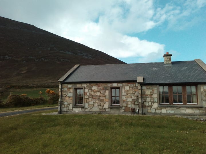 Doomore FortArchaeological place · 477 yd
 Musicans of DoocastleMemorial · 901 yd
 Indicated (1838).Enclosure · 1672 yd
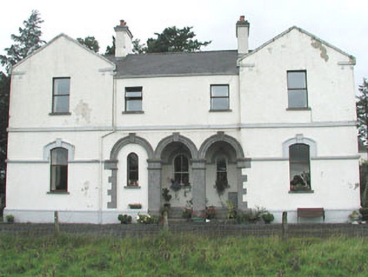 Doobeg Househouse · 1.2 mi
 CastleCastle, unclassified · 2.5 mi
 Castle (in Ruins)Castle, tower house · 2.6 mi
 Old Cave Burial GroundArchaeological place · 2.8 mi
 Tymon's HillMountain / peak · 2.9 mi
 Muckelty HillMountain / peak · 4.5 mi
 Caves of KeshCave · 8.4 mi
 Crow IslandIslet · 9.3 mi
 School CaveCave · 9.3 mi