What is recorded here
Indicated is a slightly raised oval rath at the NW end of a ridge in County Mayo, offering wide views over southern bog. Its earthen bank still stands highest on the west arc while eastern sections have weakened into scars or disappeared under later cutting. The interior slopes gently northeast and remains marked by modern fences, suggesting the place has continued to belong to living landscapes rather than disappearing into myth.
In pasture, located at the NW end of a roughly NW−SE ridge, which provides good views, most extensive to S−SW over a flat expanse of bog which stretches S from the base of the ridge.
Slightly raised, broadly oval area (29.5m NNE−SSW; 24.3m ENE−WSW) defined by a bank. The bank (Wth 2.15m; int. H 0.4m; ext. H 0.65m, at SW) is best preserved on the W arc, but has been reduced to a scarp (H 0.5m) on the E arc, except at SE where a short section of bank (Wth 2m; int. H 0.5m; ext. H 0.6m) is intact. At NW-N a portion (L 8m) of the bank has been dug away, at E a short semicircular section (L 4-5m) is dug out of the scarp, and the bank is levelled at SSE−S. The interior has a slight slope down towards the NE. A NE−SW field fence/property boundary cuts across the interior, and an E-W field fence clips the S edge of the rath. There is another rath (MA052-004----) 150m to NE.
Compiled by: Jane O'Shaughnessy
Date of upload: 26 June 2020
The monument record does not grant public access. Check the route and ask the landowner before entering private land.
- What survives
- Recorded monument
Places near here
 Musicans of DoocastleMemorial · 675 yd
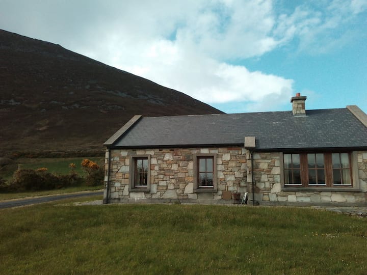 Doomore FortArchaeological place · 855 yd
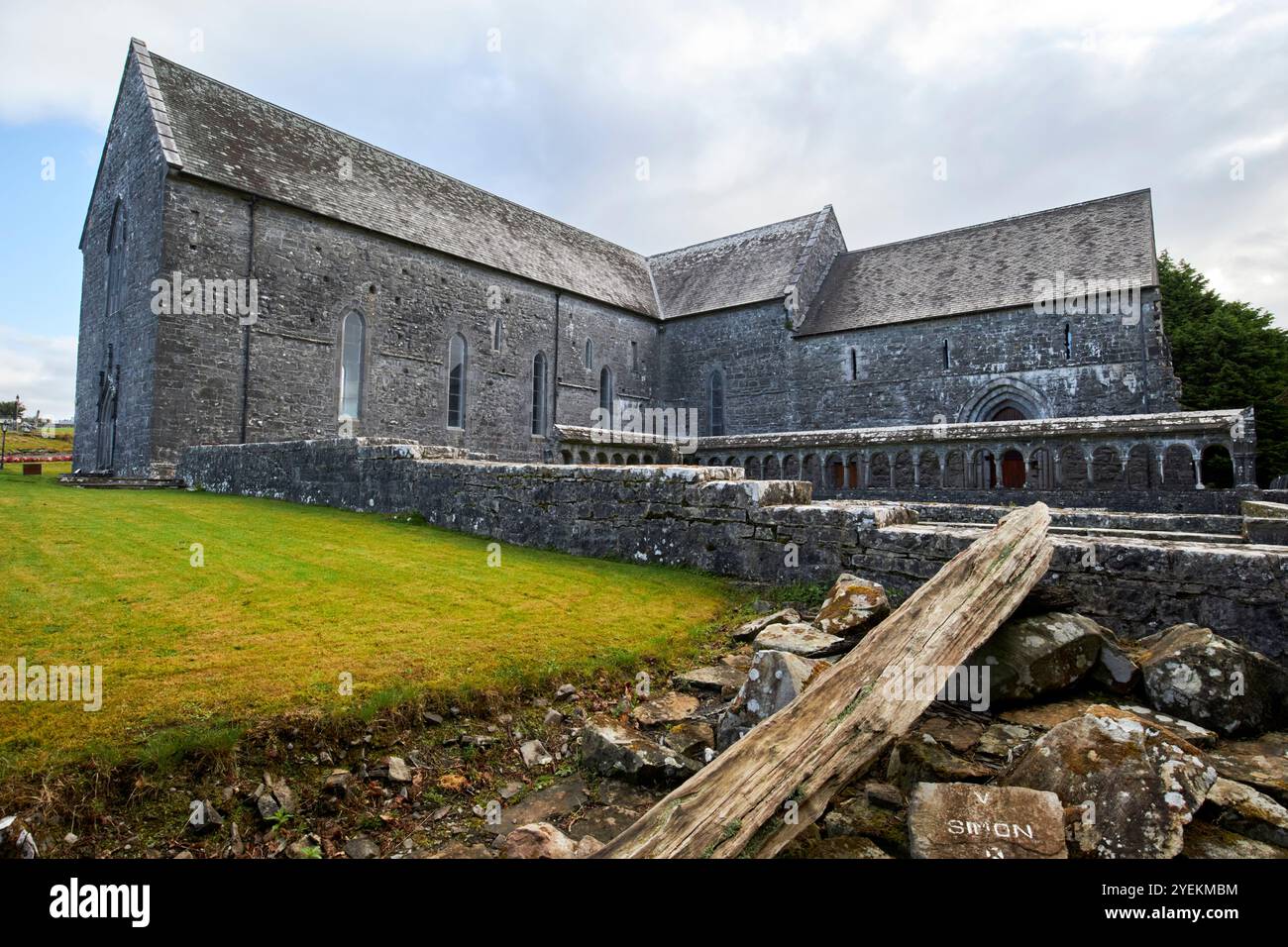 IndicatedFairy fort / earthen ringfort · 1101 yd
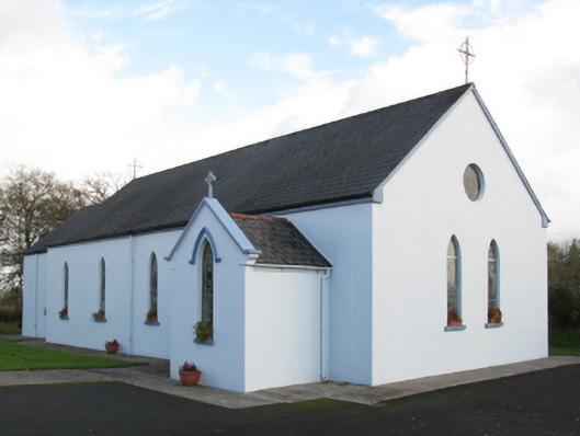 Saint Joseph's Catholic Churchchurch/chapel · 1.4 mi
 CastleCastle, unclassified · 2.3 mi
 Old Cave Burial GroundArchaeological place · 2.6 mi
 Castle (in Ruins)Castle, tower house · 2.8 mi
 Tymon's HillMountain / peak · 3.1 mi
 Muckelty HillMountain / peak · 4.3 mi
 Caves of KeshCave · 8.8 mi
 School CaveCave · 9.7 mi
 Crow IslandIslet · 9.7 mi