
What is recorded here
Indicated is a D-shaped stone enclosure in County Mayo pasture, hidden from the 1838 map but visible in 1920 records. Blackthorn now chokes its interior, concealing a nearby megalithic tomb and leaving only a low sod-covered bank to mark its curve. Wrecked cars sit in a hollow nearby, suggesting the place has collected human discard as readily as it collected stone.
Located in average pasture, with gently rising ground to N.
This enclosure is not shown on the 1838 OS 6-inch maps; it is shown on the 1920 edition as a D-shaped area defined on the straight side at W by a field boundary on a roughly N−S axis.
The remains consist of an enclosure that may originally have been circular or oval, but is now roughly D-shaped (28.6m NNE–SSW; c. 26m E–W to field fence), defined on its curving side N-SW by a low sod-covered stony bank (Wth 2.6m; int. H 0.3m; ext. H 0.3m), and bordered on the straight W side by a field fence on a NNE–SSW axis. The enclosing bank is thickly sod-covered, but eroded sections reveal that it is largely composed of small and medium-sized stones. The interior is level, but appears slightly sunken relative to exterior ground level, especially to SW. There is a low linear scarp (H 0.3m at W) extending for c. 10m from the bank at NE into the interior to SW. Much of the interior to SW, W and NE is engulfed in an impenetrable thicket of blackthorn. The overgrowth also conceals the relationship of the enclosure to a megalithic tomb (MA052-002----) which lies immediately to W. Relict cultivation ridges on a N-S axis can be seen in the surrounding field. A pit or hollow filled with wrecked cars is c. 8m to SSE of the enclosure.
Compiled by: Jane O'Shaughnessy
Date of upload: 26 June 2020
The monument record does not grant public access. Check the route and ask the landowner before entering private land.
- What survives
- Recorded monument
Places near here
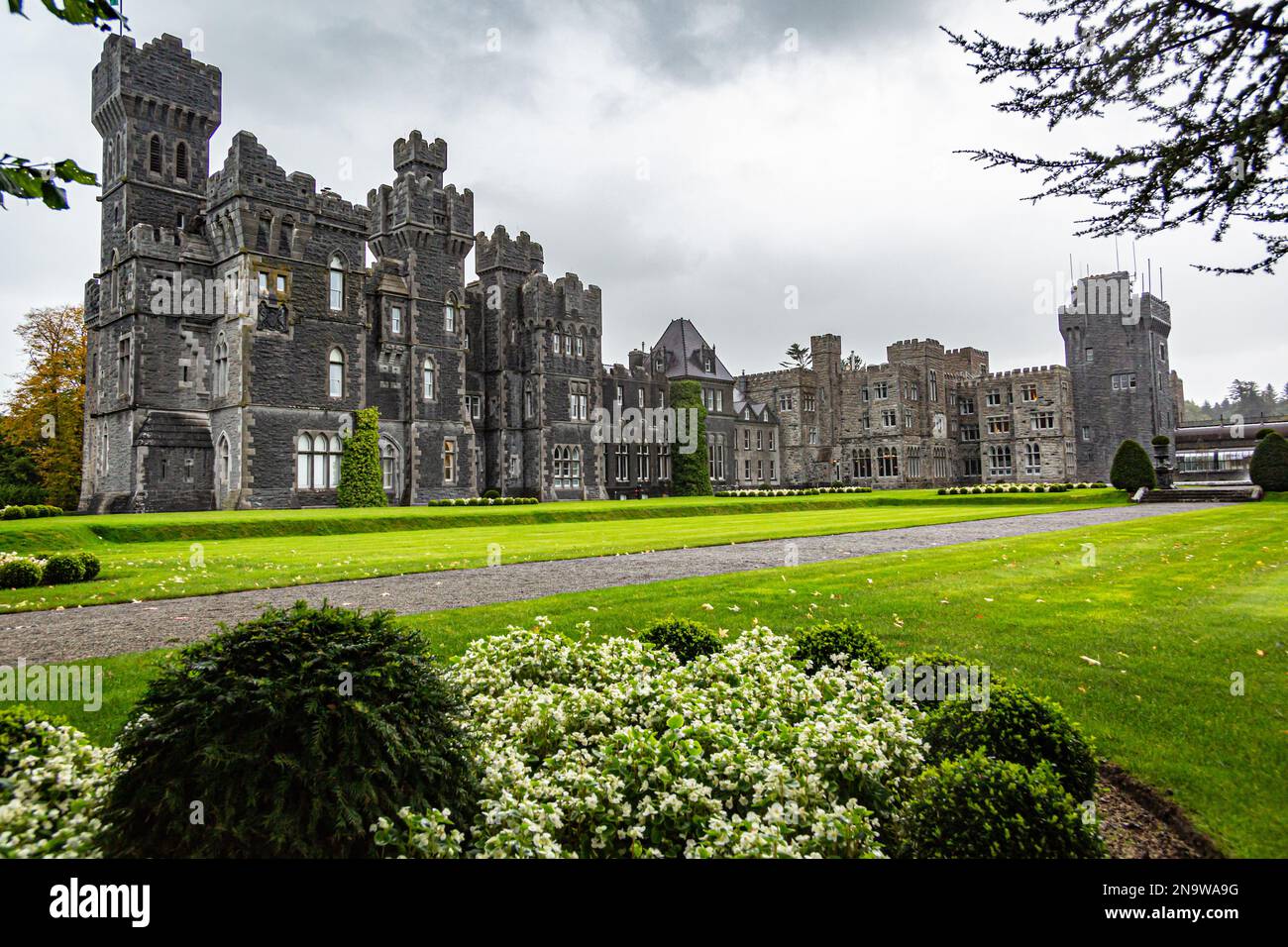 IndicatedFairy fort / earthen ringfort · 259 yd
 Musicans of DoocastleMemorial · 425 yd
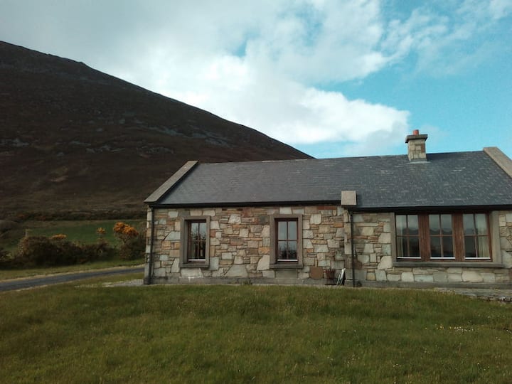 Doomore FortArchaeological place · 1431 yd
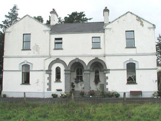 Doobeg Househouse · 1.5 mi
 CastleCastle, unclassified · 2.0 mi
 Castle (in Ruins)Castle, tower house · 2.6 mi
 Old Cave Burial GroundArchaeological place · 2.8 mi
 Tymon's HillMountain / peak · 3.0 mi
 Muckelty HillMountain / peak · 4.0 mi
 Caves of KeshCave · 8.8 mi
 School CaveCave · 9.7 mi
 Crow IslandIslet · 9.9 mi
Other information
Photo: Credit not shown in the picture search · Rights wording not checked; contact us if this picture should be removed