What is recorded here
Death claims the flat heart of the rath, crowding the western soil with twentieth-century graves while the ancient earthwork stands witness. The graveyard spills west and south beyond the rampart, proving that living people still choose this old ground for their final rest.
In a rath (MA052-003002-). The level interior of the rath has been used as a burial ground, and is marked as such on the 1838 and 1920 OS 6-inch maps. The highest density of graves appears to be in the W half of the interior, the majority of which appear to be 20th-century in date. There is an extension of the graveyard to W and S of the rath.
Compiled by: Jane O'Shaughnessy
Date of upload: 26 June 2020
The monument record does not grant public access. Check the route and ask the landowner before entering private land.
- What survives
- Recorded monument
Places near here
 Musicans of DoocastleMemorial · 339 yd
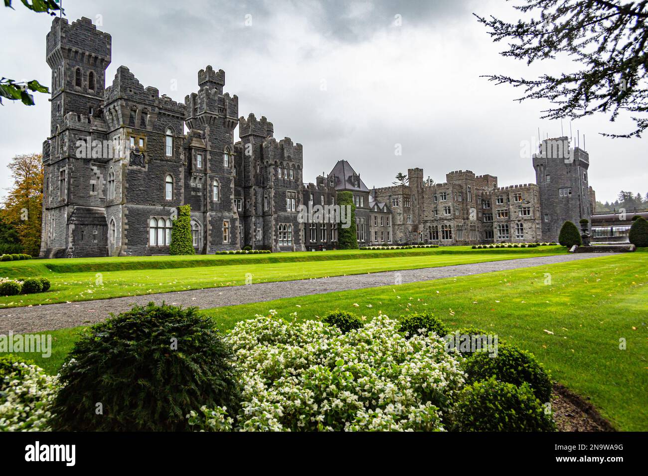 IndicatedFairy fort / earthen ringfort · 723 yd
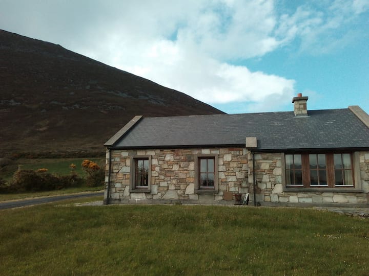 Doomore FortArchaeological place · 1535 yd
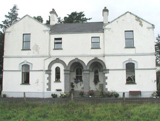 Doobeg Househouse · 1.1 mi
 CastleCastle, unclassified · 1.9 mi
 Castle (in Ruins)Castle, tower house · 2.2 mi
 Tymon's HillMountain / peak · 2.6 mi
 Old Cave Burial GroundArchaeological place · 3.2 mi
 Muckelty HillMountain / peak · 3.9 mi
 Caves of KeshCave · 8.4 mi
 School CaveCave · 9.3 mi
 Crow IslandIslet · 9.8 mi