What is recorded here
Doomore Fort is a substantial grass-covered bowl barrow standing thirty-seven feet above sea level at the junction of four field fences in County Mayo. Its broad shallow fosse and domed mound still hold their shape beside hawthorn bushes, while Knocknarae and Ben Bulben watch from the distant horizon. The fort name appears on old maps, but the earth and stone structure suggests something older than local memory, perhaps a burial place where people watched the sky turn over the bog.
In pasture, at the junction of four field fences, prominently located on a top of a hill, the highest point (OD 372’) in the locality, with panoramic views of the surrounding grassland mixed with expanses of bog. Knocknarae, crowned by Maeve’s cairn (SL014-), is visible on the far horizon to N, with Ben Bulben to NW.
This bowl barrow is named ‘Doomore Fort’ on the 1838 and 1920 OS 6-inch maps. It consists of a substantial circular mound (diam. 27.4m; H 5m) with a domed profile. Enclosing the base of the mound is a broad, shallow depression/fosse, defined on its outer edge on the W half by an earthen field fence (Wth 0.8-1m; int. H 1.35m; ext. H 0.55m) and on the E half by a field wall (Wth 0.8m; int. H 1.1m; ext. H 0.3m). The fosse varies in width (Wth 7-8m at E and W, 5.5m at N, 6.5m at S). It appears slightly sunken relative to exterior ground level, suggesting that it is a primary fosse, rather than merely a gap intervening between the mound and field fence. The field fence is similar in form to others in the vicinity; it is relatively narrow relative to the fosse, and does not appear to be an original enclosing bank.
A small eroded section of the mound slope at W reveals that it is composed of earth and stone. It is grass-covered, with gorse bushes growing on S side. The encircling field fence is ringed with hawthorn bushes.
Compiled by: Jane O'Shaughnessy
Date of upload: 26 June 2020
A Bronze Age hillfort; dates to the early first millennium BCE. Its strategic hilltop position suggests it was a defensive or territorial site, offering extensive visibility and control over the surrounding landscape.
The monument record does not grant public access. Check the route and ask the landowner before entering private land.
- What survives
- Recorded monument
Places near here
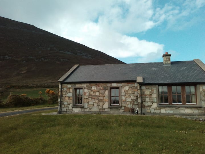 Doomore FortArchaeological place · 3 yd
 Musicans of DoocastleMemorial · 1321 yd
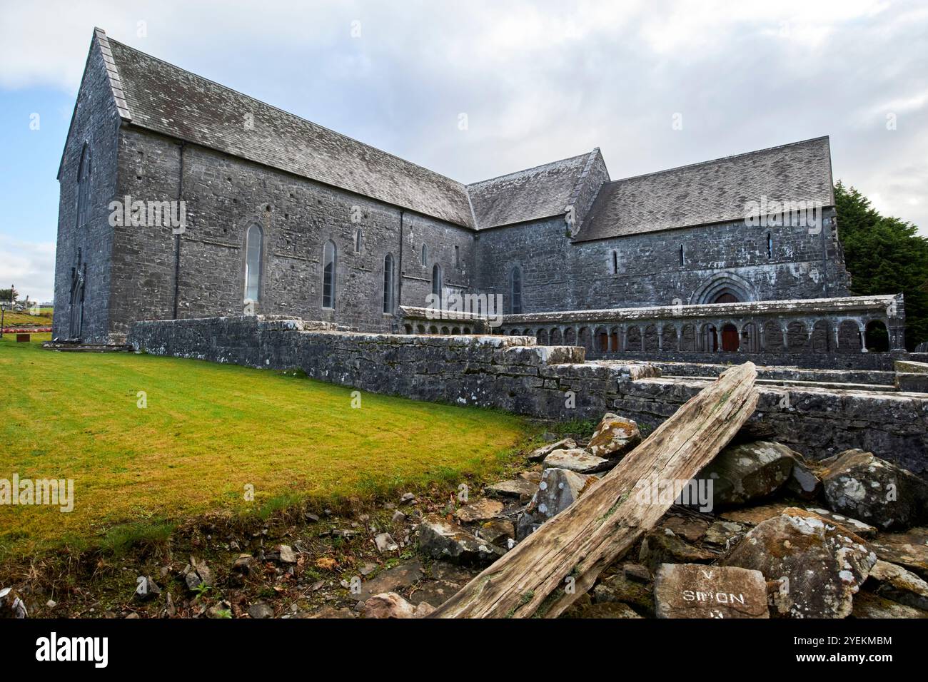 IndicatedFairy fort / earthen ringfort · 1.1 mi
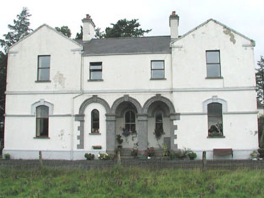 Doobeg Househouse · 1.4 mi
 Old Cave Burial GroundArchaeological place · 2.6 mi
 CastleCastle, unclassified · 2.8 mi
 Castle (in Ruins)Castle, tower house · 2.8 mi
 Tymon's HillMountain / peak · 3.1 mi
 Muckelty HillMountain / peak · 4.8 mi
 Caves of KeshCave · 8.5 mi
 Crow IslandIslet · 9.2 mi
 School CaveCave · 9.4 mi