What is recorded here
Ten thousand pounds of river clay may have driven a mill before the castle rose, yet no stone mark remains to prove the guess. The circular platform still slopes gently across wet grassland beside its stream, waiting for someone to remember what it turned.
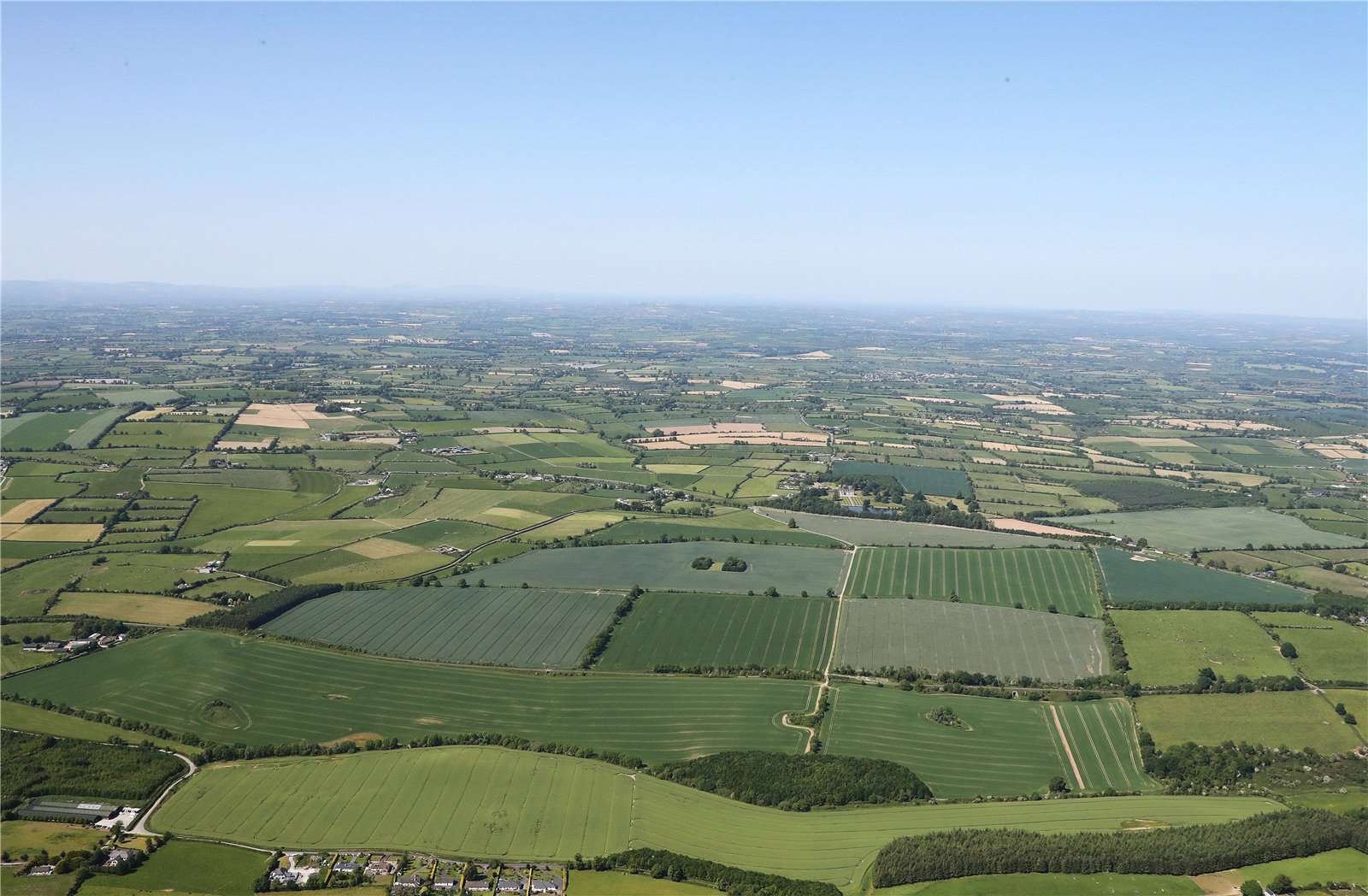
Monument described in 1943 as following; 'This is a very low circular platform surrounded by a slight fosse. The top of the platform slopes from south to north, its greatest height above the field level being 3' [0.9m] and its overall diameter 100' [30m]. It is not marked on the O.S. map' (O'Kelly 1942-3, 171). Situated on poorly drained grassland with stream 30m to NE and site of Ballinard Castle (LI032-090----) 140m to SW, the outline of this earthwork is clearly visible today on Digital Globe aerial photographs. The platform located on wet partially reclaimed land in close proximity to a stream with nearby castle site may suggest that this could be the site of a watermill (LI032-336----) mentioned in 1654-56 Civil Survey. A linear earthwork in the field to the S of the platform visible on 2005-2012 OSi aerial photographs may be related to this earthwork.
Compiled by: Caimin O'Brien
Date of upload: 24 February 2020
See attached ASI aerial photograph ASIAP – 349/9 and 351/16 taken 05/01/2003.
The monument record does not grant public access. Check the route and ask the landowner before entering private land.
- What survives
- Recorded monument
Places near here
 Castle (in ruins)Castle, unclassified · 176 yd
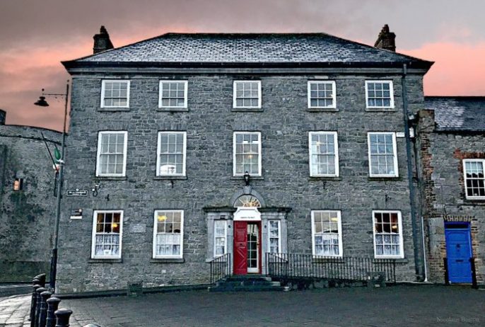 Enclosure in BallinardEnclosure · 401 yd
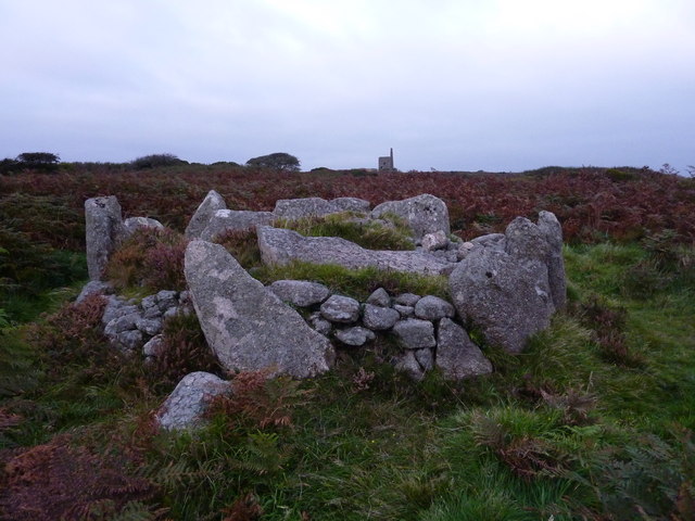 BarrowBarrow, unclassified · 551 yd
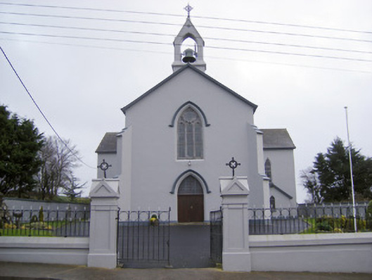 Catholic Church of the Sacred Heartchurch/chapel · 828 yd
 Cloughansoun Bridgebridge · 1351 yd
 Bawn in Ballinscoola (smallcounty By., Cahercorney Ed)Bawn · 1.9 mi
 Kilteely HillMountain / peak · 2.5 mi
 St. Patrick's WellSpring · 2.5 mi
 Flat cemetery in Knockainy WestFlat cemetery · 3.6 mi
 KnockseefinMountain / peak · 4.8 mi
 St Patrick's WellSpring · 7.0 mi
 Ballinvreena LoopVisitor information · 9.3 mi
Other information
Photo: Credit not shown in the picture search · Rights wording not checked; contact us if this picture should be removed