What is recorded here
Fairy fort / earthen ringfort in Ballard (corkaree By.) is a fairy fort or earthen ringfort in Ballard (corkaree By.), County Westmeath, Ireland. A 1983 account describes the site as a roughly oval-shaped area measuring 32 metres north-south and 29 metres east-west, enclosed by an inner bank, intervening fosse, and outer bank. These features were present from southeast through west to north but had been levelled from north through east to southeast, with the inner bank described as steep and best preserved from west to northwest.
Situated in improved pasture, with excellent views in all directions, particularly over Lough Owel to NE. Depicted on the 1837 ed. OS 6-inch map as a roughly circular earthwork. Depicted on the revised 1913 ed. OS 25-inch map as an oval-shaped earthwork within a small sub-rectangular field, on a spot height (118m/387ft OD).
Described in 1983 as a roughly oval-shaped area (dims. 32m N-S; 29m E-W) enclosed by an inner bank, intervening fosse and outer bank which are present SE-S-W-N and have been levelled N-E-SE. The inner bank (approx. int. H 0.5m; ext. H 2-2.5m) is steep and best preserved from W-NW. The intervening fosse (approx. Wth 1-2m; D 0.5-1m deep) is deep and well preserved. The outer bank (approx. H 0.5m) is best preserved W-NW and is perceptible, although disturbed at S-SW-W, where an old quarry pit encroaches. The perimeter has been levelled out from N-E-SE and the entire interior disturbed in the 1970s by insertion of a silage pit. Monument is visible today as a partially tree-lined ringfort, which appears open where disturbed to ENE, on Digital Globe aerial photography.
Compiled by: Alison McQueen, Vera Rahilly and Caimin O’Brien
Date of upload: 11 January 2019
The monument record does not grant public access. Check the route and ask the landowner before entering private land.
- What survives
- Recorded monument
Places near here
 Strand Househouse · 539 yd
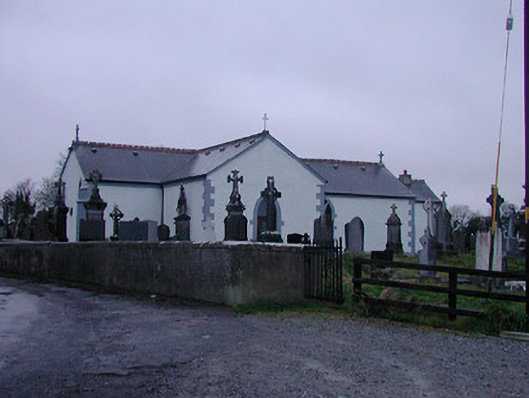 Catholic Church of the Assumptionchurch/chapel · 1131 yd
 Enclosure in Walshestown SouthEnclosure · 1327 yd
 Partially indicatedFairy fort / earthen ringfort · 1502 yd
 IndicatedCastle, motte · 1561 yd
 Nugent's CastleCastle · 1715 yd
 Carrickphilbin IslandIslet · 1.1 mi
 Srudarra IslandIslet · 1.1 mi
 Lady's IslandWood · 1.6 mi
 WestmeathVisitor information · 2.7 mi
 Ancient Ring FortWood · 5.0 mi
 South East GateHeritage attraction · 12 mi