What is recorded here
Indicated is a vast medieval field system stretching from Doolin to Ballyryan on Clare's west coast, containing thirty-four cashels, twenty-six enclosures, and two ancient tombs. Its dense boundaries suggest generations of people lived beside the Atlantic, marking ownership and identity across the green landscape. The fields still hold that human pressure, waiting for someone to walk them and imagine the hands that first shaped them.
Stretching along the W coast of Clare from Doolin at S to Ballyryan at N. A dense medieval field system (c. 4.6km NE-SW; c. 1km NW-SE) with some prehistoric elements visible on Digital Globe (2011-13) and on OSi Aerial Premium orthophotographs (2012-2018). 34 cashels and 26 enclosures are within the field system as well as a court tomb (CL008-002001-) and a wedge tomb (CL008-022----). Field systems (CL008-004001-, CL008-016001- and CL008-057001-) all lie within but form part of this extensive system.
Compiled by: Mary Tunney
Date of upload: 25 August 2021
The monument record does not grant public access. Check the route and ask the landowner before entering private land.
- What survives
- Recorded monument
Places near here
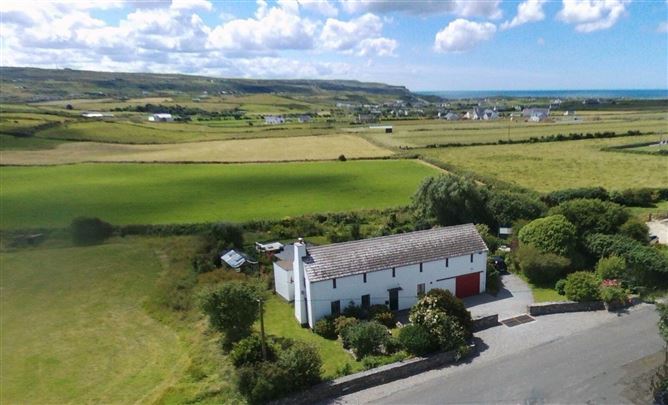 Enclosure in Ballyvoe (corcomroe By.)Enclosure · 211 yd
 Enclosure in Glasha BegEnclosure · 256 yd
 Catholic Church of the Holy Rosarychurch/chapel · 1375 yd
 CastleCastle, unclassified · 1416 yd
 Aran View SwalletCave · 1427 yd
 Roadford Bridgebridge · 1.1 mi
 St. Catherine's OneCave · 1.4 mi
 Doonmacfelim Castle (in Ruins)Castle, tower house · 1.4 mi
 Doolin Cave Visitor CentreHeritage attraction · 1.5 mi
 Doolin PointHeadland · 1.6 mi
 Doolin FerriesHeritage attraction · 1.7 mi
 Wild Atlantic Way: Doolin PierVisitor information · 1.7 mi