What is recorded here
Marked as small rectangular embanked or moated enclosure (ext. dims. c. 35m NE-SW: c. 30m NW-SE) on the 1839 ed. of the OS 6-inch map, and located on a gentle E-facing slope at the E foothills of Slievecoiltia. It is not visible at ground level in pasture, but it may be a moated site (Barry 1977, 213, WX 5). Moated site (WX034-047----) is c. 20m to the NE.
The above description is derived from the published 'Archaeological Inventory of County Wexford' (Dublin: Stationery Office, 1996). In certain instances the entries have been revised and updated in the light of recent research.
Compiled by: Michael Moore
Date of upload/revision: 12 September, 2012
The monument record does not grant public access. Check the route and ask the landowner before entering private land.
- What survives
- Recorded monument
Places near here
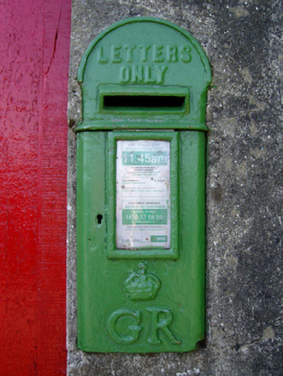 post boxpost box · 229 yd
 Embanked enclosureFairy fort / ringfort · 260 yd
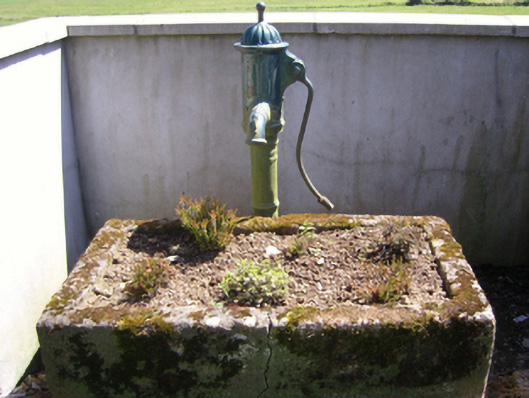 water pumpwater pump · 297 yd
 Site of ChapelChurch · 571 yd
 Garden of RemembranceMemorial · 741 yd
 The Croppy GroveMemorial · 802 yd
 Ash CollectionVisitor information · 1182 yd
 Alder CollectionVisitor information · 1453 yd
 site of CastleCastle, unclassified · 1487 yd
 John F. Kennedy Arboretum MuseumMuseum · 1506 yd
 The John F. Kennedy ArboretumForest · 1710 yd
 SlievecoiltiaMountain / peak · 1.0 mi