What is recorded here
One Galway ridge keeps two granite markers a breath apart, one standing and one fallen. That is all the facts supply, yet the shape suggests a doorway, a measure, or a warning forgotten by the people who first walked the crest. The ridge may have marked territory, tested strength, or recorded an event no longer spoken. The stones remain because they resisted every later hand that wanted the land smooth.
On the crown of a glacial ridge, incorporated into a modern field bank. Aligned NNE-SSW and c. 1.2m apart. Both stones are of granite. The N stone is subrectangular in plan (H 1.6m); S stone is now prostrate (1.4m by 0.65m). (Ó Nualláin 1988, 197)
The above description is derived from the published 'Archaeological Inventory of County Galway Vol. I - West Galway'. Compiled by Paul Gosling (Dublin: Stationery Office, 1993).
Date of upload: 05 August 2010
Probably dating to the Neolithic or Early Bronze Age, the pair may have functioned as a boundary marker or ritual alignment. Their placement on a prominent ridge suggests a symbolic or territorial role, though specific folklore or use remains unrecorded.
The monument record does not grant public access. Check the route and ask the landowner before entering private land.
- What survives
- Recorded monument
Places near here
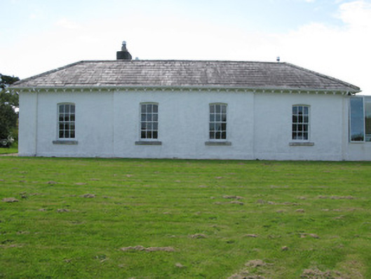 The Rectoryrectory/glebe/vicarage/curate's house · 668 yd
 Sellerna Ch.Church · 735 yd
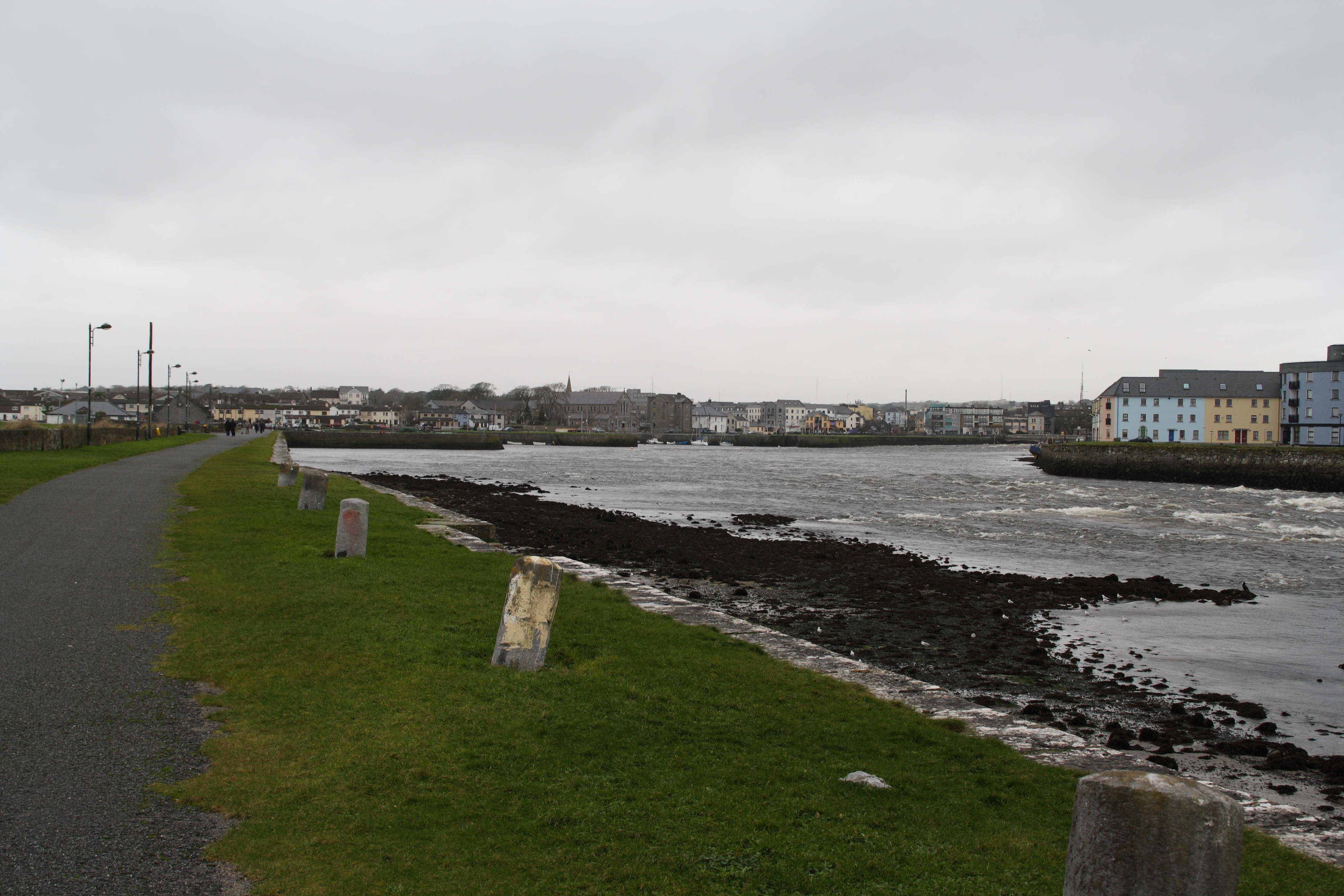 IndicatedFairy fort / stone ringfort · 810 yd
 Cleggan fishing disaster 28th October 1927Memorial · 1299 yd
 ClegganVisitor information · 1321 yd
 The StrandBeach / strand · 1.4 mi
 TobernaseachtinneanHoly well · 1.6 mi
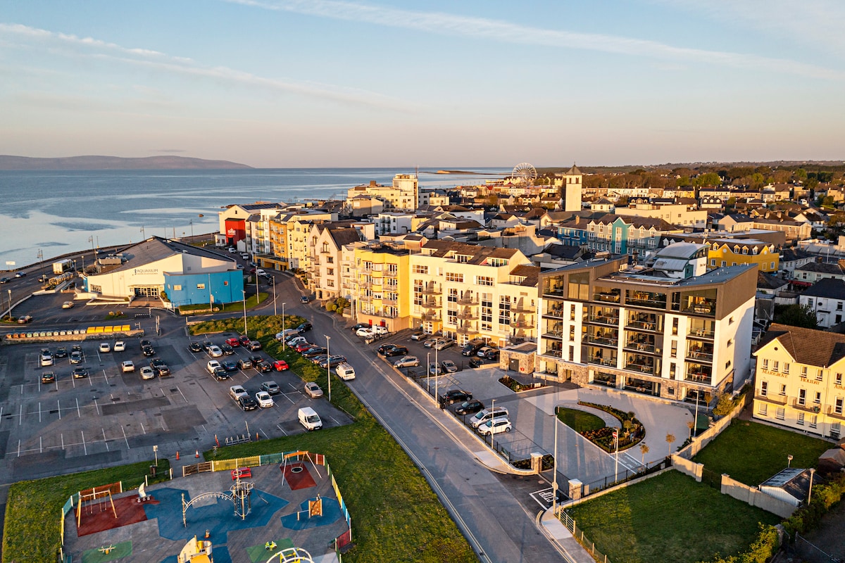 Acton BeachBeach / strand · 1.8 mi
 RoeillaunIslet · 1.9 mi
 Dog IslandIslet · 2.0 mi
 BallynewMountain / peak · 2.1 mi
 Bawn in Doon (ballynahinch By.)Bawn · 2.8 mi