What is recorded here
Graveslab in Athenry is a broken, tapering stone marked only by a floriated cross, yet McKeon believes it belongs to the 13th or 14th century rather than the later date Macalister first guessed. It lies near the arcade in County Galway, preserving the shape of a forgotten burial long after the name and story behind it vanished.
This tapering graveslab (L 1.89m; Wth across top 0.63m; Wth across bottom 0.37m; T 0.11m) is broken in two pieces. When recorded by Macalister (1913, 212, XI, Pl. VII, No. 3) it was complete and he described it as a ‘coffin-shaped slab, with a floriated cross’. There was no inscription on it. He suggested a date of c. 1680 but McKeon (2009, 50, Fig. 18: Slab H, 51) believes it is earlier and dates to the 13th or 14th century. It is lying at the E end of the aisle – just to the N of the arcade. This slab is similar to another in the NE corner of the transept (see GA084-001038-). See also GA084-001034- and GA084-001036- to GA084-001038-. (Bradley and Dunne 1992, 34; McKeon 2009, 51, Fig. 18: Slab H)
The following image has been uploaded: GA084-001035-_01.jpg
Compiled by: Olive Alcock
Date of upload: 9 November 2018
Medieval Christian graveslab, 13th–15th century. Its significance lies in its association with the friary in Athenry and the artistic and funerary traditions of late medieval Ireland.
The monument record does not grant public access. Check the route and ask the landowner before entering private land.
- What survives
- Recorded monument
Places near here
 Athenry AbbeyHeritage attraction · 10 yd
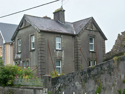 Abbey Row Househouse · 27 yd
 Wall monument in AthenryWall monument · 28 yd
 The Twelve ApostlesMonument · 103 yd
 Check mapCross, Market cross · 160 yd
 Athenry CastleHeritage attraction · 212 yd
 Castle or King Johns Court (in ruins)Castle, Anglo-Norman masonry castle · 226 yd
 Horse-chestnutHorse-chestnut · 615 ydFirst Battle of Athenrybattle · 1501 yd
 Castle (in Ruins)Castle, unclassified · 2.0 mi
 Moyard WoodWood · 2.8 mi
 Leadmine HillMountain / peak · 10 mi