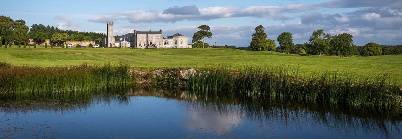
What is recorded here
Indicated is a vanished ringfort on a Galway esker ridge, marked in 1838 but erased from the land before human memory. It faced Colman’s Lough, perhaps watching water, trade or danger. Its stones are gone, but the ridge still holds the shape of a choice: to stand where others passed.
On the brow of a low esker ridge, overlooking Colman’s Lough to the S. Marked on the 1838 edition of the OS 6-inch map as an embanked circular enclosure (int. diam. c. 15m; max. diam. c. 27m). No visible surface trace survives.
Compiled by: Galway Archaeological Survey, UCG
Date of upload: 16 July 2019
The monument record does not grant public access. Check the route and ask the landowner before entering private land.
- What survives
- Recorded monument
Places near here
 Ashfield Ho.House, 18th/19th century · 698 yd
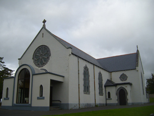 Saint Anne's Catholic Churchchurch/chapel · 949 yd
 Man-made underground passage in CaherbroderMan-made underground passage · 1019 yd
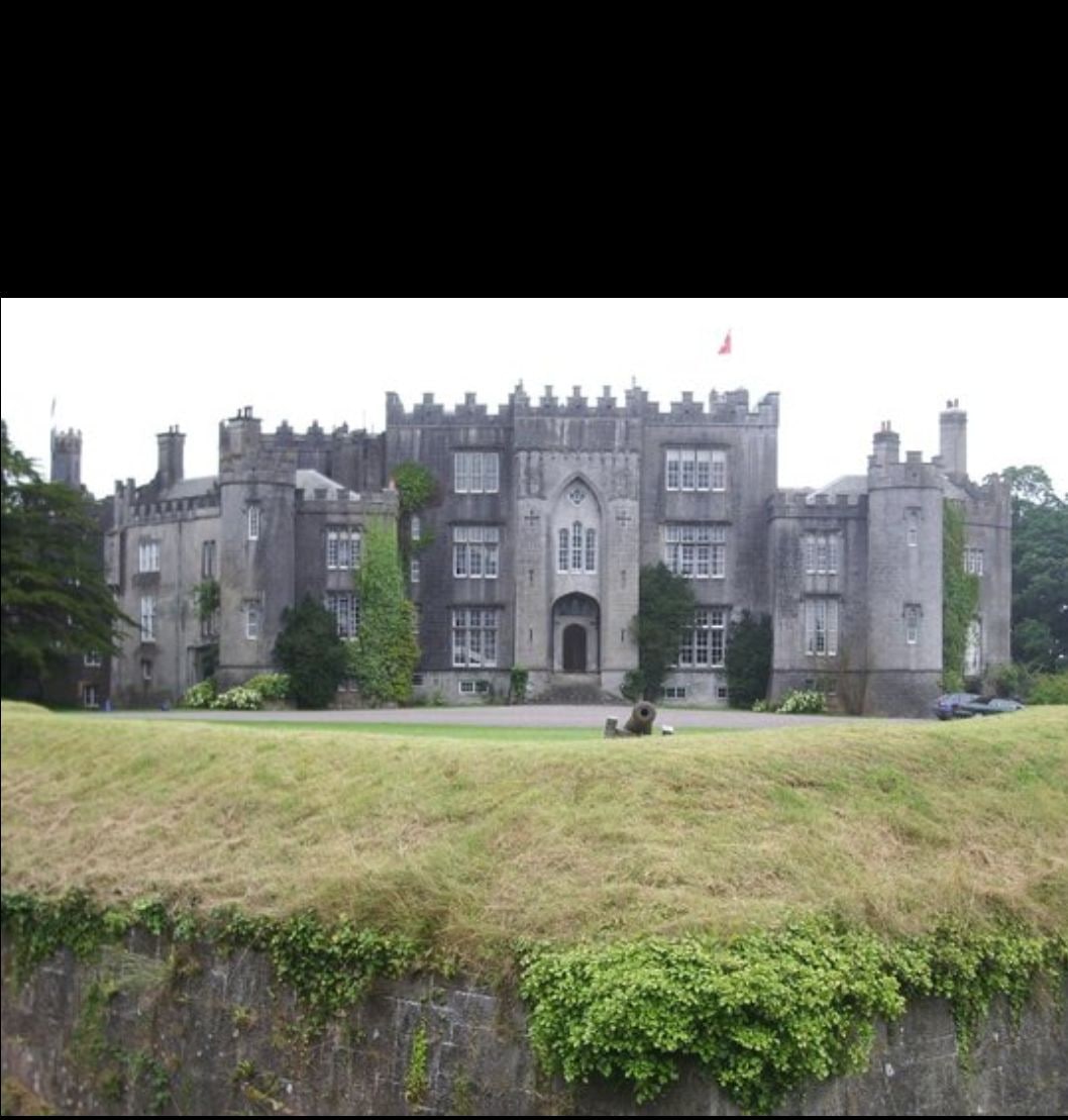 Man-made underground passage in Ashfield DemesneMan-made underground passage · 1272 yd
 Ardamullivan Castle (in ruins)Castle, tower house · 1.1 mi
 Swan IslandIsland · 1.3 mi
 Apple IslandWood · 1.7 mi
 Keaghery IslandWood · 2.0 mi
 Bawn in Fiddaun (kiltartan By.)Bawn · 2.0 mi
 Castle IslandIsland · 2.3 mi
 Kilmacduagh MonasteryHeritage attraction · 3.0 mi
 Kilmacduagh Monastic SiteVisitor information · 3.0 mi
Other information
Photo: Credit not shown in the picture search · Rights wording not checked; contact us if this picture should be removed