
What is recorded here
Slieve Gullion is recorded as a mountain / peak in County Armagh. Its open map record supplies this location and any linked names or public references.
Slieve Gullion rises to approximately 579 meters and is part of the Sperrin Mountains in County Armagh. It is a prominent landmark with a rich geological history, including basaltic rock formations from ancient volcanic activity, and is surrounded by local folklore, notably associated with the Cú Chulainn legend. The hill matters as a cultural and natural focal point in the region.
Places near here
 Slieve Gullion South CairnArchaeological place · 2 yd
 Ring of GullionRing of hills and protected landscape · 872 yd
 Slieve Gullion North CairnArchaeological place · 959 yd
 Killeavy CastleCastle · 1621 yd
 St Moninna's WellSpring · 1.2 mi
 EARLY CHRISTIAN & MEDIEVAL CHURCHES, GRAVEYARD, AUGUSTINIAN NUNNERY & ROUND TOWER: KILLEVY CHURCHES in BallintempleEARLY CHRISTIAN & MEDIEVAL CHURCHES, GRAVEYARD, AUGUSTINIAN NUNNERY & ROUND TOWER: KILLEVY CHURCHES · 1.4 mi
 Killevy ChurchesVisitor information · 1.4 mi
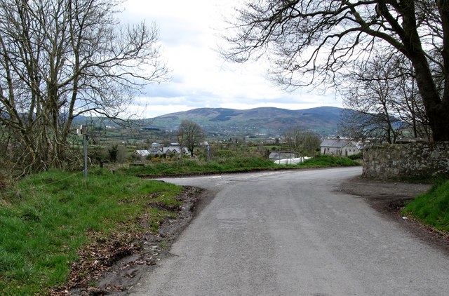 Killevy Churches AONB SignVisitor information · 1.5 mi
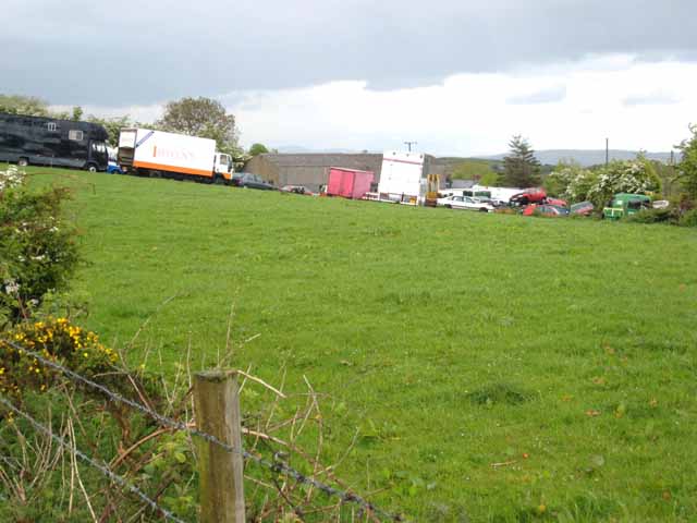 Carn HillMountain / peak · 2.3 mi
 Faughill MountainMountain / peak · 2.7 mi
 Mass Rock Loop TrailWalking route · 2.9 mi
 Forkhill Greenspace PathwayWalking route · 3.0 mi
Other information
Photo: Deathpool4 at English Wikipedia · Public domain