What is recorded here
Rath is a recurring name for ancient earthworks across County Armagh, appearing at Ballenan, Ballygorman, Carrickastickan and Carrickbroad. These are not one place but a pattern: raised rings, cashels and forts scattered through the townland names like markers someone kept returning to. The repetition suggests Rath was a common word for a defended or sacred boundary, not a unique identity.
Rath is recorded as a archaeological place in County Armagh. Its open map record supplies this location and any linked names or public references.
Places near here
 The Black Castle Chambered GraveArchaeological place · 1580 yd
 Clarebane Bridgebridge · 1.2 mi
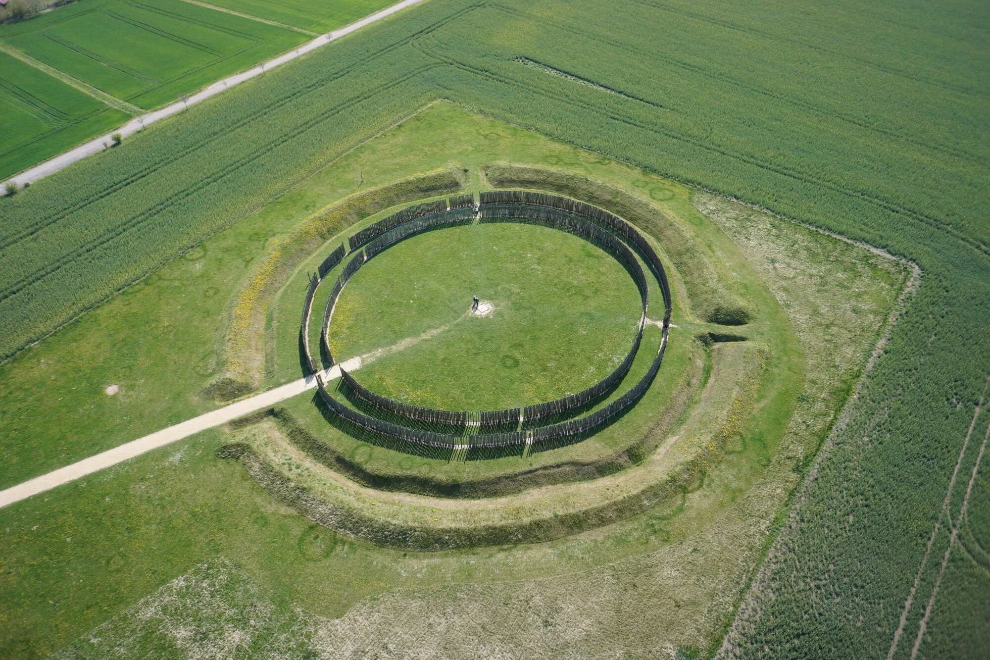 A.P. SITEA.P. SITE, large circular enclosure · 1.3 mi
 ENCLOSURE in CarranENCLOSURE · 1.6 mi
 Crane IslandIsland · 2.0 mi
 bridgebridge · 2.2 mi
 Whites IslandIslet · 2.2 mi
 Battle of Newry Roadbattle · 2.2 mi
 Dairy HillMountain / peak · 2.6 mi
 MEDIEVAL & POST-MED. CHURCH & GRAVEYARD in Creggan Bane GlebeMEDIEVAL & POST-MED. CHURCH & GRAVEYARD · 2.8 mi
 KnockreaghMountain / peak · 3.0 mi
 Lough MucknoLake and park landscape · 3.1 mi