What is recorded here
On a N-S limestone ridge overlooking the River Rine 60m to the E. This monument was visited on 3 November 2017 by Frank Coyne (Aegis Archaeology) in connection with an Archaeological Impact Assessment. He describes it as 'a circular area (diam. 18m E-W) defined by a stony bank with an entrance (Wth 2.5m) at S. The bank is less well defined at N. The interior slopes gently to S.'
Revised by: Mary Tunney with information supplied by Frank Coyne, Aegis Archaeology.
Date of revision: 7 November 2017
The monument record does not grant public access. Check the route and ask the landowner before entering private land.
- What survives
- Recorded monument
Places near here
 Enclosure in AyleacottyEnclosure · 589 yd
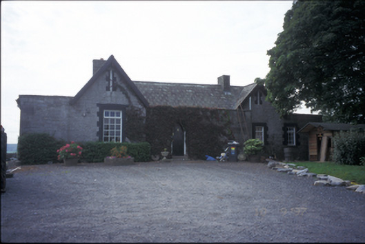 Glenviewrailway station · 597 yd
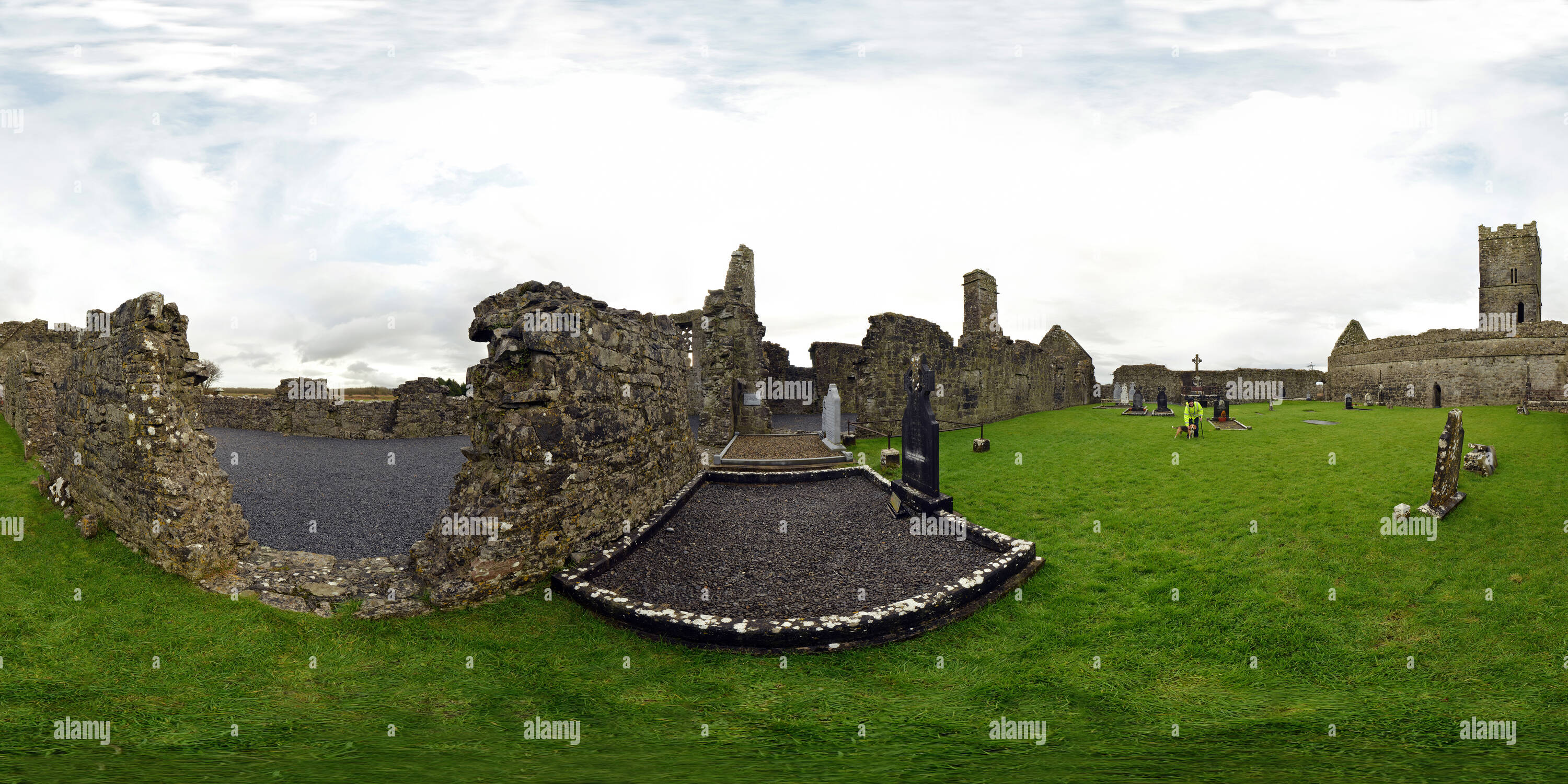 Ceremonial enclosure in BallykiltyCeremonial enclosure · 718 yd
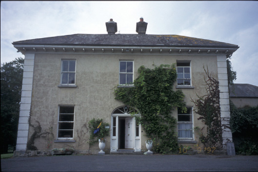 Ballyhannan Househouse · 1255 yd
 Castlefergus or Ballyhannan(in Rns) 1922Castle, tower house · 1450 yd
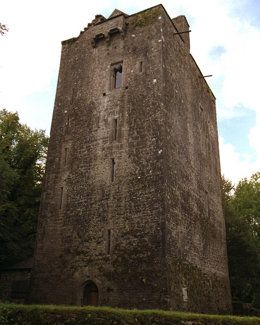 Mooghaun castleCastle · 1.1 mi
 Mooghaun HillfortArchaeological place · 1.2 mi
 Mooghaun WoodsWood · 1.3 mi
 HawthornHawthorn · 1.6 mi
 Quin AbbeyHeritage attraction · 1.7 mi
 G.A.A. Commemorative StoneMemorial · 3.4 mi
 Irish Famine MemorialMemorial · 3.4 mi