
What is recorded here
Ardskeagh Moat rises eight metres above undulating pasture, a steep earthen cylinder wrapped in a waterfilled ditch and outer bank. Trees now choke its flat top and western edge, hiding the central depression where a wooden hall or domestic chamber may have stood. The muddy causeway to the north-west still marks the entrance, linking the mound to the nearby ringfort and church in a small cluster of power and prayer.
In undulating pasture, c. 200m N of Garrane River and c. 80m E of bivallate ringfort (12056). Steep-sided, circular, earthen mound (H 8.2m) surrounded by waterfilled fosse (Wth 4.4m) with substantial external earthen bank (ext. H 1.3m). Mound planted with trees; flat topped (21.5m E-W; 18.4m N-S), with central depression (10.75m E-W; 9.5m N-S). Bank widest to W where it is heavily planted with trees; short section to S very narrow, with field boundary extending S from it. Access to mound across muddy causeway to NNW. Ardskeagh Church (14388) c. 500m to NNW.
The above description is derived from the published 'Archaeological Inventory of County Cork. Volume 4: North Cork' (Dublin: Stationery Office, 2000). In certain instances the entries have been revised and updated in the light of recent research.
Date of upload/revision: 14 January 2009
The monument record does not grant public access. Check the route and ask the landowner before entering private land.
- What survives
- Recorded monument
Places near here
 BarrowBarrow, ring-barrow · 448 yd
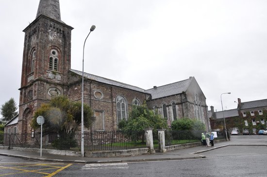 Ardskeagh Church (in Ruins)Church · 542 yd
 Fulacht fia in Garrane (fermoy By.)Fulacht fia · 808 yd
 Glanmore Househouse · 1630 yd
 BallinaboolaVisitor information · 1644 yd
 Ballymacshaneboy Castle (in ruins)Castle, unclassified · 1.2 mi
 Castle Harrison on Site of Castle (19*Castle, unclassified · 1.5 mi
 Caher HillMountain / peak · 1.9 mi
 CarrigeenMountain / peak · 2.0 mi
 ToberSpring · 2.4 mi
 Lady's WellSpring · 2.4 mi
 Holy Cross CemeteryGraveyard · 2.7 mi
Other information
Photo: Credit not shown in the picture search · Rights wording not checked; contact us if this picture should be removed