
What is recorded here
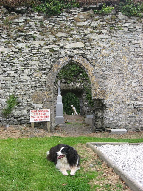
Indicated is an active graveyard where new holes still open beside stones cut in the 1750s. The church and its rectangular walled ground sit on a north-facing crest above Ardcath, exposing the dead to weather while the living keep the place tidy. That is not a mistake of humility; it is a difference in address. Some people want to vanish into distance, but this is a claim that death belongs where it happened.
Situated at the crest of a N-facing slope. The parish church of Ardcath (ME033-009----) is within a rectangular graveyard (dims c. 90m ENE-WSW; c. 50m NNW-SSE) defined by masonry walls, with a low bank inside the perimeter at N. The headstones date from c. 1750 to the present.
Compiled by: Michael Moore
Date of upload: 9 February, 2015
The monument record does not grant public access. Check the route and ask the landowner before entering private land.
- What survives
- Recorded monument
Places near here
 Church (in Ruins)Church · 12 yd
 CastleCastle, unclassified · 163 yd
 Font in Rath (duleek Upper By.)Font · 462 yd
 Enclosure in Fennor (duleek Upper By.)Enclosure · 1447 yd
 Andrews Corn MillRuins · 1.4 mi
 PuddenhillHeritage attraction · 1.9 mi
 Athcarne CastleCastle, tower house · 2.2 mi
 FourknocksPassage tomb · 2.4 mi
 The story of the milk standMemorial · 2.6 mi
 Newtown GorseWood · 3.1 mi
 Common LimeCommon Lime · 3.5 mi
 Newtown HillMountain / peak · 3.6 mi
Other information
Photo: Kieran Campbell · Creative Commons Attribution-ShareAlike 2.0