What is recorded here
Situated on a broad, undulating NE-SW ridge with slightly higher ground just to the NE. This is a grass-covered and flat-topped mound (diam. of top 11m N-S; 10m E-W; diam. of base c. 20m; H c. 1.5-2m) with a low earthen bank planted with deciduous trees c. 12m outside the base of the mound.
The above description is derived from the published 'Archaeological Inventory of County Meath' (Dublin: Stationery Office, 1987). In certain instances the entries have been revised and updated in the light of recent research.
Compiled by: Michael Moore
Date of revision: 16 April 2019
A Neolithic passage tomb; significant as a rare example of a flat-topped, grass-covered mound in the region, reflecting early communal burial practices.
The monument record does not grant public access. Check the route and ask the landowner before entering private land.
- What survives
- Recorded monument
Places near here
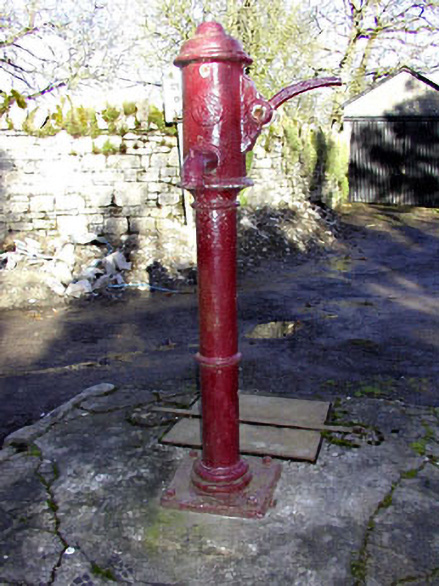 water pumpwater pump · 273 yd
 Ardbraccan Houseoutbuilding · 283 yd
 Fulacht fia in ArdbraccanFulacht fia · 851 yd
 DurhamstownMountain / peak · 974 yd
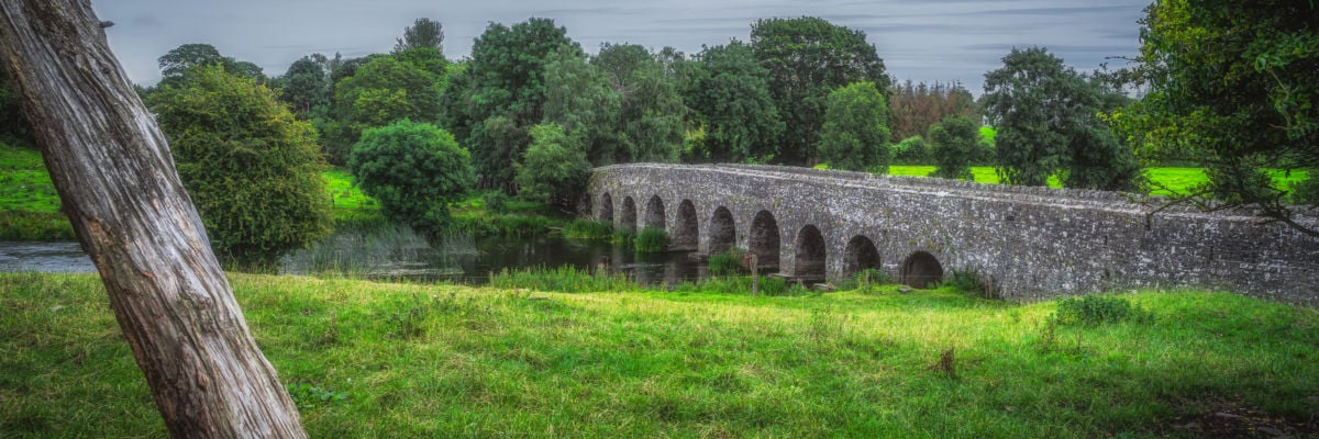 Hut site in ArdbraccanHut site · 982 yd
 BohermeenMountain / peak · 1.0 mi
 The New Line RoadMemorial · 1.2 mi
 Liscartan CastleCastle, tower house · 1.3 mi
 Rathaldron Ho.Castle, tower house · 1.5 mi
 Nangle CourtMemorial · 2.4 mi
 Laurel CoverWood · 3.5 mi
 Newtown GroveWood · 3.7 mi