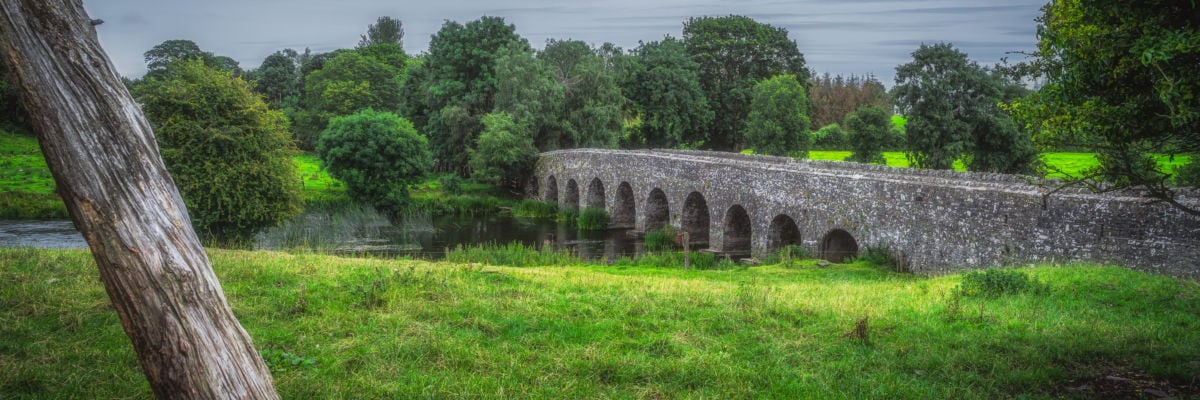
What is recorded here
Situated on a slight S-facing slope and at the N edge of a marshy area. Archaeological testing (04E0584) by N. Fairburn (2004) at Testing Area 11 of Contract 3 of the M3 motorway identified archaeological material (excavations.ie 2004:1158) that was excavated (E003116) by M. Mossop (Mossop et al. 2009) as Ardbraccan 2 (excavations.ie 2006:1487) during May to July 2006 when a fulacht fia, a rath with internal hut-sites, and an external hearth and cereal drying kiln were recorded. Elements of four field systems were also present.
A large oval hut-site (int. dims 8.5m N-S; 5.5m E-W) defined by a drip-gully (Wth 1.2m; D 0.2m) was at the centre of the rath. It had an internal hearth (dims 0.7m x 0.4m; D 0.09m) and there was a pit (dims 1.92m x 0.66m; D 0.1m) at its centre. A sample of charred barley from the hearth provided a C14 date of 657-862 cal. AD (Beta 247122), and the fire cut a possible corn-drying kiln which was a keyhole-shaped pit (dims 2.1m x c 0.48m; D 0.21m) beneath it. An entrance to the hut-site is not identified but its perimeter is cut by later N-S features at E and W, which might have removed evidence of it. An annexe was added to the hut-site at S in a curving drip-gully (L 16.2m; Wth 1.8m; D 0.18m) that enclosed a D-shaped area (dims c. 6m N-S; c. 5m N-S). The extension had a central posthole, and a small iron axe and a stone lamp were recovered from it. Charred cereal grains and burnt animal bones were also associated with the extension. In the E part of the rath interior a small circular hut-site (ext. diam. c. 4m plus) is defined by a drip-gully (Wth 0.37m; D 0.13m ) that may have been open to the S although much of the feature remains outside the excavated area. An external pit (dims 0.43m x 0.39m; D 0.23m) is probably associated with this feature. (Mossop et al. 2009, 6)
See the attached interpretive plan from Mossop (et al. 2009, fig. 18)
Compiled by: Michael Moore
Date of upload: 25 March 2022
The monument record does not grant public access. Check the route and ask the landowner before entering private land.
- What survives
- Recorded monument
Places near here
 KilnKiln, corn-drying · 42 yd
 Fulacht fia in ArdbraccanFulacht fia · 132 yd
 Field boundary in ArdbraccanField boundary · 624 yd
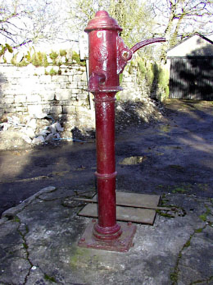 water pumpwater pump · 1189 yd
 DurhamstownMountain / peak · 1605 yd
 BohermeenMountain / peak · 1.1 mi
 The New Line RoadMemorial · 1.3 mi
 Liscartan CastleCastle, tower house · 1.7 mi
 Rathaldron Ho.Castle, tower house · 1.8 mi
 Nangle CourtMemorial · 2.5 mi
 Donaghmore Round TowerHeritage attraction · 3.9 mi
 Blackcastle DemesneWood · 3.9 mi
Other information
Photo: Credit not shown in the picture search · Rights wording not checked; contact us if this picture should be removed