What is recorded here
Ardacluggin holds a rectangular standing stone nearly three metres tall, aligned northeast to southwest inside a field fence. The bog has taken the land around it, yet the stone still marks a line across the sky. People may have set it there to judge distance, remember loss or warn others about the water hidden beneath the grass.
In bog, incorporated into field fence. Rectangular stone aligned NE-SW (H 2.9m; 1m x 0.55m). (O'Brien 1970, 18).
The above description is derived from the published 'Archaeological Inventory of County Cork. Volume 1: West Cork' (Dublin: Stationery Office, 1992). In certain instances the entries have been revised and updated in the light of recent research.
Date of upload/revision: 14 January 2009
The monument record does not grant public access. Check the route and ask the landowner before entering private land.
- What survives
- Recorded monument
Places near here
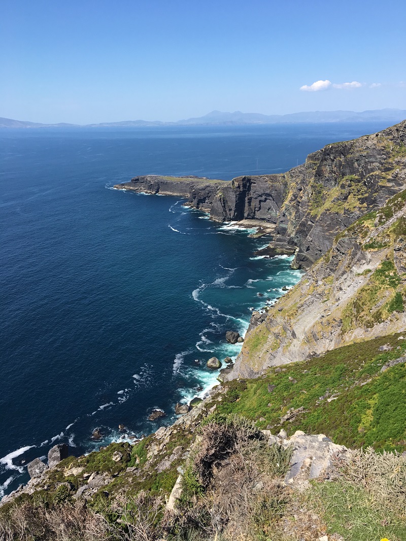 Wild Atlantic WayVisitor information · 747 yd
 Boulder-burial in UrhinBoulder-burial · 1201 yd
 Pallas StrandBeach / strand · 1.0 mi
 CairnCairn, unclassified · 1.3 mi
 The BullIslet · 1.3 mi
 Drehidagaddy BrBridge · 1.4 mi
 Eyeries - Creha Quay LoopWalking route · 1.5 mi
 Church in CaherkeenChurch · 1.6 mi
 CarrigleamoreIslet · 1.6 mi
 Eyeries - Coastguard Station LoopWalking route · 1.7 mi
 Miskish MountainMountain / peak · 1.7 mi
 Mass RockVisitor information · 2.1 mi