What is recorded here
In pasture, located on an elevation overlooking a stream 50m to E. There is rising ground to SE.
Oval earthen platform (61.5m NE−SW; 47.5m NW−SE) defined by a high scarp (H 3.5m at NNE and SE, 1.5m at W; Wth slope 3.5m at SE and NNE, 2m at W). The scarp is cut to the vertical, probably a relatively recent modification. Stones protrude from the scarp in a parts. Remnants of a low NNE−SSW fence/wall (Wth 1m) of earth and stone crosses the top of the scarp at W.
There is a slight slump (Wth c. 2m) in the scarp at ENE, now eroded by cattle and another low area (Wth 2.6m) in the scarp at W, but is unclear if either represents and original entrance. The interior slopes down gently from the NW quadrant to W and more markedly to S and SE.
Compiled by: Jane O’Shaughnessy
Date of upload: 25 June 2021
The monument record does not grant public access. Check the route and ask the landowner before entering private land.
- What survives
- Recorded monument
Places near here
 IndicatedCastle, motte · 878 yd
 Bohola ChurchChurch · 988 yd
 Castle in ruinsCastle, tower house · 1071 yd
 Enclosure in BoholaEnclosure · 1140 yd
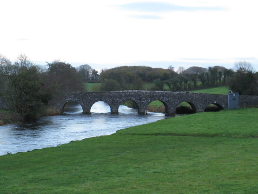 Scarrownageeragh Bridgebridge · 1148 yd
 LismoreFairy fort / earthen ringfort · 1.4 mi
 Michael DavittMemorial · 2.6 mi
 Thorn CaveCave · 3.8 mi
 Admiral William BrownMemorial · 5.0 mi
 Foxford Woollen MillsHeritage attraction · 5.1 mi
 Hennigan's Heritage CentreHeritage attraction · 5.3 mi
 Brabazon WoodsForest · 5.3 mi