What is recorded here
In the yard at the rear of Magherabeg House is a rectangular scalloped sandstone capital (DG099-010002-) for three engaged columns, 45cms by 51cms by 34cms high. The front of the block is damaged and a basin, 27cms in diameter and 18cms deep, hollowed-out from the top. The capital is probably 12th century in date. It was found at the rear of a premises on the NE of the Diamond in Donegal town and was brought to Magherabeg House in 1980; its original provenance is unknown.
The above description was derived from the 'Archaeological Survey of County Donegal. A description of the field antiquities of the County from the Mesolithic Period to the 17th century.' Compiled by: Brian Lacey with Eamon Cody, Claire Cotter, Judy Cuppage, Noel Dunne, Vincent Hurley, Celie O'Rahilly, Paul Walsh and Seán Ó Nualláin (Lifford: Donegal County Council, 1983). In certain instances the entries have been revised and updated.
Date of upload: 22 September 2008
The monument record does not grant public access. Check the route and ask the landowner before entering private land.
- What survives
- Recorded monument
Places near here
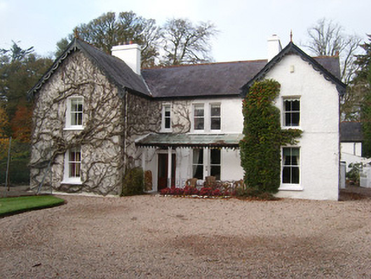 Magherabeg Househouse · 33 yd
 Magherabeg FriaryReligious house, Franciscan Third Order Regular · 40 yd
 Tullaghcullion Fairy FortFairy fort / earthen ringfort · 484 yd
 Siege of Donegalsiege · 1112 yd
 Donegal Friary GraveyardGraveyard · 1162 yd
 Horse-chestnutHorse-chestnut · 1352 yd
 Wych ElmWych Elm · 1356 yd
 Revlin Enclosure near Donegal AbbeyEnclosure · 1371 yd
 Ballyboyle IslandIslet · 1466 yd
 Four Masters MemorialMemorial · 1654 yd
 Donegal CastleMuseum · 1.0 mi
 Ballyboyle Castle (Site of)Castle, tower house · 1.2 mi