
What is recorded here
Much of Tullaghcullion has vanished beneath development and drainage, leaving only a faint memory of its circular shape on the drumlin crest. What remains is a wet, marshy scar where human hands keep uncovering and burying what the land once held. The fairy fort may have been a living place, a marked boundary, or a story the district told about itself.
Internal diam. c. 26m. This site is much destroyed. It appears to have been a circular area enclosed by an earthen bank. The bank has been levelled and the interior raised. It is situated in good land on the crest of a small drumlin overlooking Donegal Bay.
The above description was derived from the 'Archaeological Survey of County Donegal. A description of the field antiquities of the County from the Mesolithic Period to the 17th century.' Compiled by: Brian Lacey with Eamon Cody, Claire Cotter, Judy Cuppage, Noel Dunne, Vincent Hurley, Celie O'Rahilly, Paul Walsh and Seán Ó Nualláin (Lifford: Donegal County Council, 1983). In certain instances the entries have been revised and updated.
Date of upload: 22 September 2008
Excavation licence number 02E0916
Pre-development testing was undertaken at the site of this proposed residential development on the outskirts of Donegal town. An assessment of the site had been undertaken in February 2001. Ten trenches were mechanically excavated. The land is primarily marshy and wet, and the stratigraphy exposed revealed that natural layers were often directly below the sod. There were few finds, two fragments of clay pipe and a number of sherds of 20th-century pottery being the only artefacts recovered. A number of stone-constructed drains were also revealed and are probably related to drainage operations undertaken in the 19th/20th century. The stratigraphy revealed did not indicate any evidence of features/deposits of archaeological significance. (Excavations Bulletin 2002)
Martin Fitzpatrick, Arch. Consultancy Ltd, Ballydavid South, Athenry, Co. Galway.
The monument record does not grant public access. Check the route and ask the landowner before entering private land.
- What survives
- Recorded monument
Places near here
 Magherabeg AbbeyRuins · 437 yd
 Magherabeg FriaryReligious house, Franciscan Third Order Regular · 444 yd
 Siege of Donegalsiege · 643 yd
 Donegal Friary GraveyardGraveyard · 722 yd
 Revlin Enclosure near Donegal AbbeyEnclosure · 895 yd
 Horse-chestnutHorse-chestnut · 951 yd
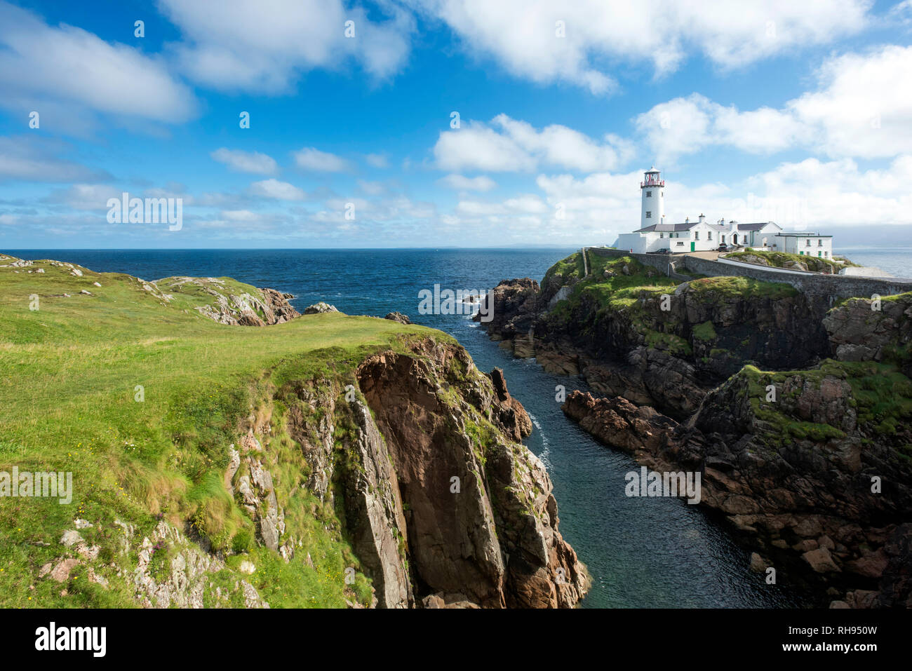 Revlin Fairy FortFairy fort / earthen ringfort · 1037 yd
 Wych ElmWych Elm · 1159 yd
 Four Masters MemorialMemorial · 1238 yd
 Donegal CastleMuseum · 1365 yd
 Ballyboyle IslandIslet · 1585 yd
 Donegal Railway Heritage CentreMuseum · 1671 yd
Other information
Photo: Credit not shown in the picture search · Rights wording not checked; contact us if this picture should be removed