What is recorded here
Early Christian foundation founded by St. Barrind in the sixth century (Purser 1918, 74-7). Located on low-lying land with river to the S, esker ridge to the N and E with motte (OF036-028004-) to the NW. Long rectangular church (OF036-028001-) built of roughly coursed sandstone blocks with base batter evident at W end of N wall only.
Late medieval architectural fragment of a limestone window of fifteenth or sixteenth century date. Located to the E of the church lying on the ground beneath a table top tomb there is a single hood moulding terminal decorated with a vine leaf carved in relief. There are several fragments of window mouldings and other architectural pieces lying outside the E end of the church.
Compiled by: Caimin O'Brien.
Date of upload: 23 May 2011
The monument record does not grant public access. Check the route and ask the landowner before entering private land.
- What survives
- Recorded monument
Places near here
 Drumcullen Church in ruinsChurch · 20 yd
 CrossCross, High cross · 33 yd
 Holy well in Ballincur (ballybrit By.),castletown AND Glinsk,lismoney,the WalkHoly well · 933 yd
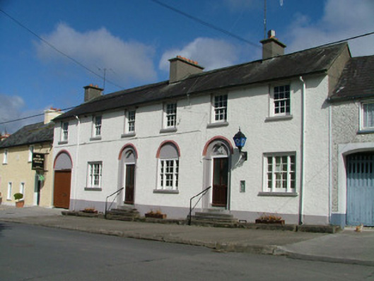 Kinnitty Garda Síochána StationRIC barracks · 1005 yd
 Knockbarron WoodForest · 1593 yd
 Moneyguyneen WoodWood · 1739 yd
 CastleCastle, tower house · 1.0 mi
 Bawn in Annaghmore AND AnnaghbegBawn · 1.1 mi
 Waypoint 1Visitor information · 1.1 mi
 Slieve Bloom Mountain Bike TrailVisitor information · 1.3 mi
 Kinnitty Castle LoopWalking route · 1.7 mi
 KnocknamanMountain / peak · 2.0 mi