What is recorded here
Seventy-six metres of steel and shadow lie 145m down in County Antrim, waiting for the pressure to finish what the sea began. The anomaly still stands six metres high on the ocean floor, a dark ribbon stretched across the mud since 1946. Depth and distance turn memory into shape, but the shape refuses to dissolve.
The official Northern Ireland wreck record identifies U 968 as Submarine. It was lost in 1946. Recorded depth: 145m. Recorded condition: Anomaly = 76m long X 6m high.
U 968 was a German U-boat, lost in 1946 during the post-war period, likely due to an accident or operational error. It sank with its crew, all of whom were presumed drowned, and it carried no significant cargo; its significance lies in being one of the few German submarines lost in the Irish Sea after World War II.
A wreck point does not grant access or permission to dive, enter land, disturb the site or recover anything. Check current law and local conditions first.
Places near here
 RuecallanHeadland · 9.4 mi
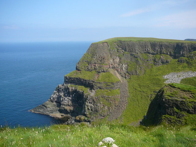 Derginan PointHeadland · 9.4 mi
 Rathlin West LighthouseLighthouse · 9.5 mi
 A.P. SITE: CROPMARK OF SQUARE ENCLOSURE in KebbleA.P. SITE: CROPMARK OF SQUARE ENCLOSURE · 9.5 mi
 U-shaped boat enclosure in KebbleU-shaped boat enclosure · 9.9 mi
 Rathlin IslandIsland · 12 mi
 Sheep IslandIslet · 12 mi
 Boathouse Visitor Centre & MuseumMuseum · 12 mi
 Boat HouseBoat House · 12 mi
 Ballycarry Trail, RathlinWalking route · 12 mi
 Dunseverick FallsWaterfall · 12 mi
 Dunseverick CastleCastle · 12 mi