
What is recorded here
Carrickarede Island is a basalt islet in County Antrim where salmon fishers crossed a rope bridge from the late 17th century to cast nets into Atlantic waters. At its peak in the 1920s, the area supported eighty fishers catching up to three hundred salmon daily, but pollution and overfishing reduced the runs until the last salmon was caught in 2002. The rocky ledges still hold guillemots, razorbills and kittiwakes, while the chasm below remembers every dangerous crossing made for food rather than wonder.
Carrickarede Island is recorded as a islet in County Antrim. Its open map record supplies this location and any linked names or public references.
Carrickarede Island is a small islet located in County Antrim, Northern Ireland. It is notable for its historical association with the broader network of coastal and island settlements in the region, though specific records about its inhabitants or detailed history remain sparse.
Places near here
 Carrick-a-rede Rope BridgeHeritage attraction · 99 yd
 Lime Kiln, Carrick-a-redeMonument · 1143 yd
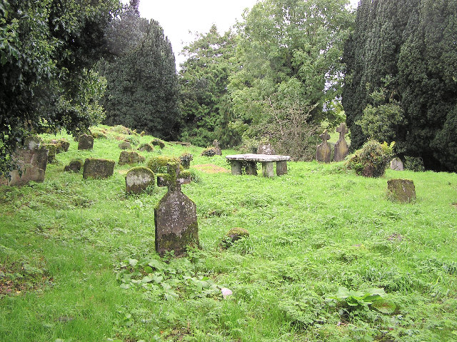 GRAVEYARD & ENCLOSURE in GlenstagheyGRAVEYARD & ENCLOSURE · 1286 yd
 Sheep IslandIslet · 1.0 mi
 Fullerton ArmsPublic House · 1.1 mi
 Kinbane CastleCastle · 1.7 mi
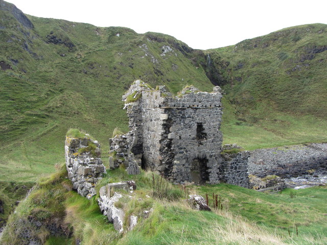 KINBANE CASTLE in CregganboyKINBANE CASTLE · 1.7 mi
 White Park BayVisitor information · 3.0 mi
 Bull PointHeadland · 4.1 mi
 Ballycastle Presbyterian ChurchChurch · 4.1 mi
 Ballycastle MuseumMuseum · 4.2 mi
 SroannamaddyHeadland · 4.2 mi
Other information
Photo: Rossographer · CC BY-SA 2.0