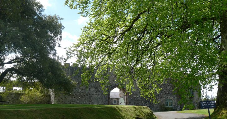
What is recorded here
Lisanoure Castle stands in County Antrim, a name that sounds like a whispered warning rather than a place. The rock may have watched ships pass or hidden people from storms, but no human memory has touched it yet. It waits for a witness, not a writer.
Lisanoure Castle is recorded as a castle in County Antrim. Its open map record supplies this location and any linked names or public references.
Lisanoure Castle in County Antrim was built in the 17th century, likely by a local Protestant gentry family following the Plantation of Ulster. It is remembered as an example of early post-Plantation architecture and settlement in the region.
Places near here
 possible MOTTE SITE; MULTIPERIOD CASTLE SITE: LISANOURE CASTLE or LOUGH GUILE CASTLE or LOUGH KEOULLE in Castlequarterpossible MOTTE SITE; MULTIPERIOD CASTLE SITE: LISANOURE CASTLE or LOUGH GUILE CASTLE or LOUGH KEOULLE · 62 yd
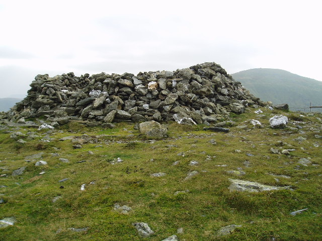 LARGE ENCLOSURE in DrumbestLARGE ENCLOSURE · 2.0 mi
 CROSS-CARVED STONE in Ballyknock BigCROSS-CARVED STONE · 2.1 mi
 Ballylough Big HillMountain / peak · 2.1 mi
 CASTLE & possible Man-made underground passage in KilraghtsCASTLE & possible Man-made underground passage · 3.2 mi
 SlievenahanaghanMountain / peak · 3.5 mi
 Slieveanorra ForestForest · 4.4 mi
 Causeway Coast and Glens Heritage TrustVisitor information · 5.2 mi
 PRE-NORMAN CHURCH & ROUND TOWER; MEDIEVAL PARISH CHURCH; POST-MEDIEVAL CHURCH & GRAVEYARD: ARMOY CHURCH & ROUND TOWER in GlebePRE-NORMAN CHURCH & ROUND TOWER; MEDIEVAL PARISH CHURCH; POST-MEDIEVAL CHURCH & GRAVEYARD: ARMOY CHURCH & ROUND TOWER · 5.5 mi
 The Dark HedgesViewpoint · 5.8 mi
 Gracehill HouseHouse · 6.1 mi
 Breen ForestForest · 6.3 mi
Other information
Photo: Historic Houses; photographer not shown · All rights reserved