What is recorded here
Aghalislone holds a rath and barrow, marking the area as a place where ancient people shaped the land for ritual or residence. The connection between both sites suggests a settled community that repeated its ceremonies across generations. Modern visitors may imagine the sounds and purposes that filled the valley, while the surviving earthworks preserve the shape of that lost life.
Rath is recorded as a archaeological place in County Antrim. Its open map record supplies this location and any linked names or public references.
Places near here
 ENCLOSURE in LisnagarranENCLOSURE · 405 yd
 A.P. SITEA.P. SITE, circular enclosure · 1442 yd
 Big Gortgole ForestForest · 1.6 mi
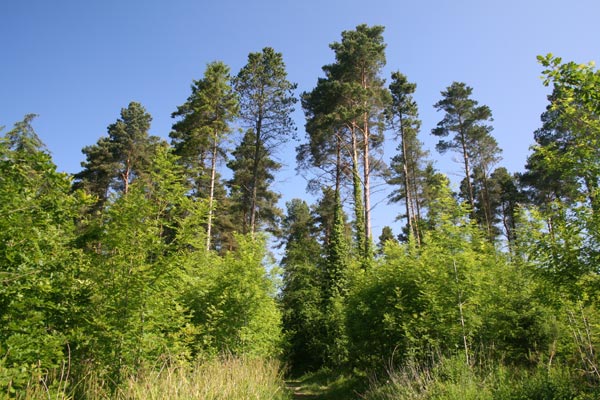 Bracknamuckley ForestWood · 1.8 mi
 Parish ChurchChurch · 2.1 mi
 First Presbyterian ChurchChurch · 2.2 mi
 FORD across R. BANN & SITE OF BATTLE, 1689 (see also ANT 031:052 for opposite side of the river) in GlenoneFORD across R. BANN & SITE OF BATTLE, 1689 (see also ANT 031:052 for opposite side of the river) · 2.2 mi
 CASTLE (site of): PORTGLENONE CASTLE in GarvaghyCASTLE (site of): PORTGLENONE CASTLE · 2.3 mi
 TullyMountain / peak · 2.9 mi
 Scroggy Mass RockNamed rock · 3.7 mi
 CHURCH & GRAVEYARD: KILREA OLD CHURCH or KILREA O'DIAMOND in KilreaCHURCH & GRAVEYARD: KILREA OLD CHURCH or KILREA O'DIAMOND · 5.1 mi
 MOTTE AND BAILEY: McQUILLAN'S CASTLE in GalgormMOTTE AND BAILEY: McQUILLAN'S CASTLE · 6.2 mi