What is recorded here
On a steep NW-facing slope. A single leaning sandstone upright (H 1.2m; Wth 1.34m; T 0.4m) is aligned ENE-WSW. The stone narrows towards the top giving it a somewhat triangular profile. There are reported to have been at least three other uprights in close proximity which were destroyed in the 1950s (local information) and their position relative to the extant stone is unknown (SMR file). The nature of this monument cannot be determined on the basis of the available evidence.
Compiled by: Patrick F. O'Donovan
Date of upload: 1 March 2012
The monument record does not grant public access. Check the route and ask the landowner before entering private land.
- What survives
- Recorded monument
Places near here
 Holy WellHoly well · 136 yd
 CairnCairn, unclassified · 1216 yd
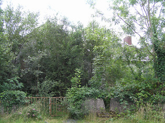 Scoil Náisiúnta Naomh Muireschool · 1.5 mi
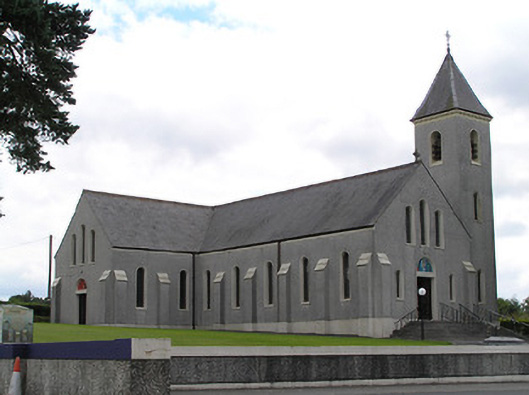 Saint Mary's Catholic Churchchurch/chapel · 1.7 mi
 CastleCastle, unclassified · 2.0 mi
 Bawn in CurrycahillBawn · 3.6 mi
 Bully's Acregraveyard/cemetery, unknown · 3.7 mi
 Ballinalee Forest WalkForest · 4.0 mi
 Native Woodland Trust: Farnaght ReserveWood · 4.1 mi
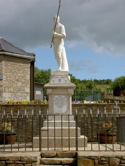 1798 Monumentmonument · 4.2 mi
 Ballinamuck Bog LoopWalking route · 4.4 mi
 Derrinch IslandIslet · 6.2 mi