What is recorded here
Annaghkilly holds a rock-cut circular depression eight metres across at the north end of a drumlin ridge, joined to a seven-metre western trench. The official label calls it an underground passage, yet no entrance, roof or hidden chamber is recorded. That gap between name and shape gives the place its life. A chamber may have collapsed, a tunnel may have been filled, or a quarry may have worn the edge of an older route. Stand at the circular hole and look west along the trench. The ridge, rath and cut stone still point to human direction even when the passage itself has disappeared.
Situated at the N end of a short N-S drumlin ridge and at the centre of rath (MO012-062----). A rock-cut circular depression (diam. of base 8m; max. D 1.6m), with a trench (L 7m; Wth 2m; max. D 1.3m) extending W from it is visible, although it might be a quarry.
Compiled by: Michael Moore
Date of upload: 5 February, 2018
The monument record does not grant public access. Check the route and ask the landowner before entering private land.
- What survives
- Recorded monument
Places near here
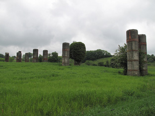 viaductviaduct · 583 yd
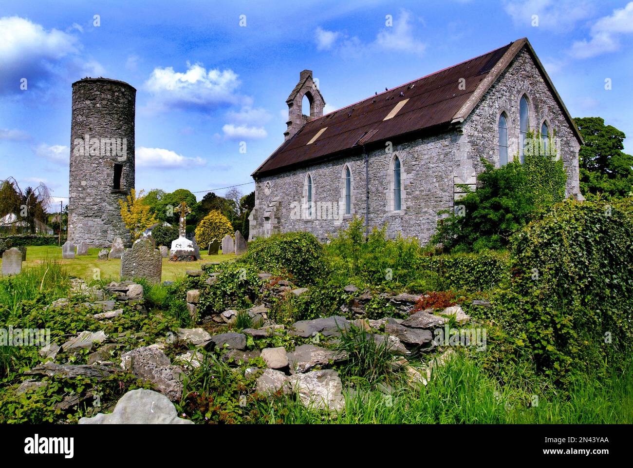
 Church in AnnaghkillyChurch · 603 yd
 Saint John's WellSpring · 711 yd
 IndicatedCrannog · 733 yd
 Ancient Stone (Site of)Mass-rock · 768 yd
 Common LimeCommon Lime · 1042 yd
 KillycoonaghWood · 1047 yd
 Abbey RuinsHeritage attraction · 1.7 mi
 Bawn in CrossmoyleBawn · 1.7 mi
 The Cassandra Hand CentreMuseum · 1.7 mi
 CastleCastle, motte and bailey · 1.9 mi
 Jaundice WellSpring · 2.6 mi
Other information
Photo: Credit not shown in the picture search · Rights wording not checked; contact us if this picture should be removed