What is recorded here
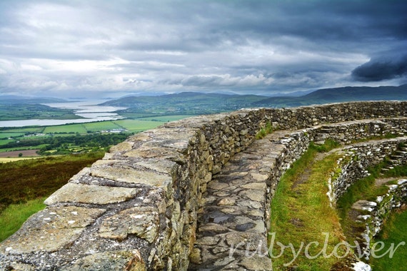
Annagry Stone Ringfort is a ruined stone circle on high Donegal ground, its broad wall reduced to a low rim above wet rock and rough grass. It overlooks Annagary village and the strand, while field boundaries cut across the place like later claims on an older shape. Local story mentions an underground passage within the cashel, giving the flat interior the feel of a chamber waiting beneath its surface.
Internal diam. 17m. A circular area enclosed by a ruined stone wall c. 3.65m in width and 0.6m in height. The interior is level. A number of field boundaries cross the site. It is reputed that there is a Man-made underground passage in the cashel. It is situated on high ground overlooking Annagary village and strand to the N in rough grazing, wet and rocky.
The above description was derived from the 'Archaeological Survey of County Donegal. A description of the field antiquities of the County from the Mesolithic Period to the 17th century.' Compiled by: Brian Lacey with Eamon Cody, Claire Cotter, Judy Cuppage, Noel Dunne, Vincent Hurley, Celie O'Rahilly, Paul Walsh and Seán Ó Nualláin (Lifford: Donegal County Council, 1983). In certain instances the entries have been revised and updated.
Date of upload: 22 September 2008
The monument record does not grant public access. Check the route and ask the landowner before entering private land.
- What survives
- Recorded monument
Places near here
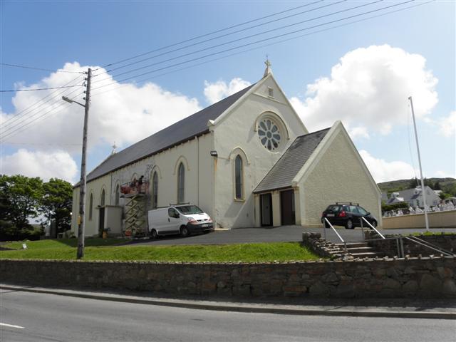 Catholic Church of Saint Mary Star of the Seachurch/chapel · 184 yd
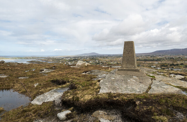 Annagary HillMountain / peak · 563 yd
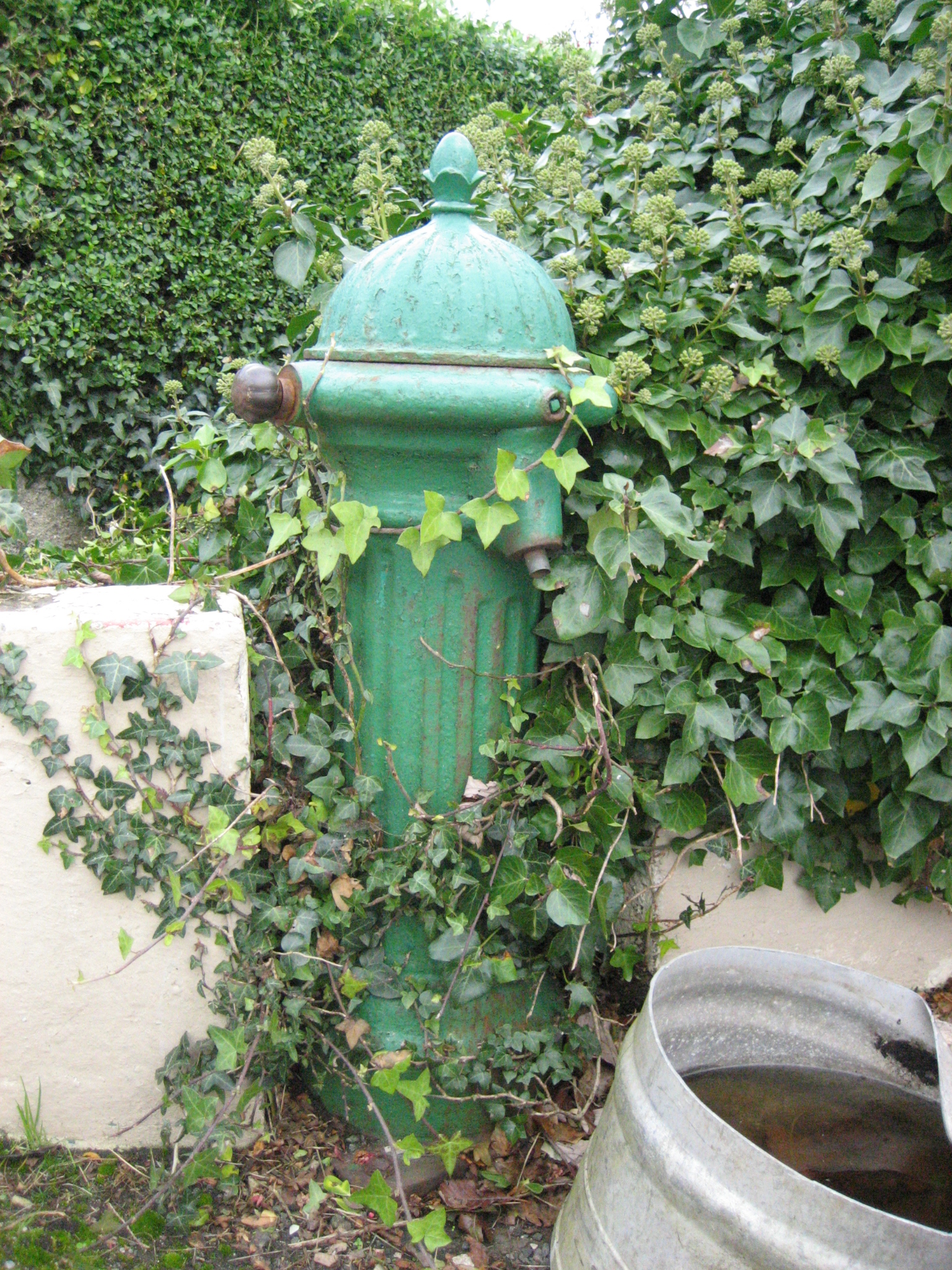 water pumpwater pump · 1.3 mi
 Stone Circle near Donegal AirportPublicly named stone circle · 1.4 mi
 Braade StrandBeach / strand · 1.5 mi
 Holy well in Rann Na FeirsteHoly well · 1.6 mi
 CarrickfinnOfficial bathing water · 1.9 mi
 Trá Dún MórBeach / strand · 3.3 mi
 Rinnalea Point / Na Reanna LiathaHeadland · 3.4 mi
 An tOileán CarrachIslet · 3.8 mi
 An ChruitIsland · 4.2 mi
 Crolly WaterfallWaterfall · 4.4 mi
Other information
Photo: Credit not shown in the picture search · Rights wording not checked; contact us if this picture should be removed