
What is recorded here
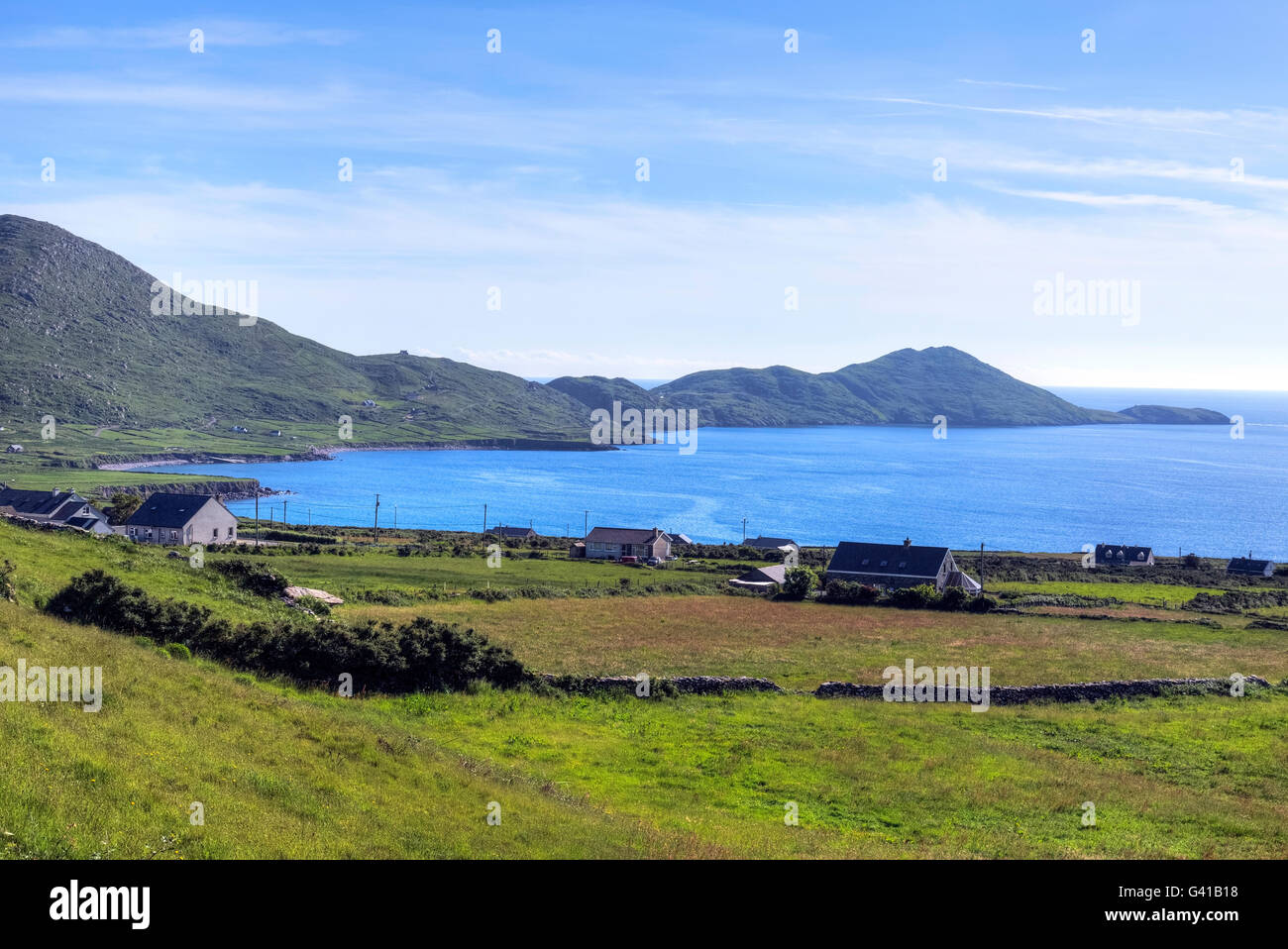
Indicated (1846) is a ruined stone ringfort on the lower western slopes of Farraniaragh mountain, overlooking Ballinskelligs Bay. Its surviving southern wall still stands one course high with a clear western entrance, while a modern trackway brushes the inner edge. The bay light may have drawn people to this small fortified place, but time and field boundaries have erased most of its shape.
Overall diam. 18m NW-SE
This site is located on the lower W slopes of Farraniaragh mountain, overlooking Ballinskelligs Bay to W. Only a portion of the S sector of its enclosing element is extant, and elsewhere an overlying field boundary follows the line of the original enclosure. A modern trackway runs adjacent to the inner face of the enclosure at E. The surviving stretch of the enclosing feature consists of a rubble core faced internally and externally with drystone masonry, now reduced to a single course. It measures .25m high and 3.1m wide and features a well-defined entrance gap, 1m wide, at SW. Two portals, averaging 1.2m high, mark its W side, while a slab set on edge forms the opposing side. A large lintel-like slab, at least 1.35m long, lies outside the entrance.
In the interior of the site at W are the possible remains of a hut (KE106-003006-), represented by a low stony mound of rectangular plan. A concentration of stone at E may be modern field clearance.
O'Connell noted a 'cromlech' (KE106-003004-) and an 'Ogham' (KE106-003005-) at this location (OPW), but neither feature can now be identified.
The above description is derived from A. O'Sullivan and J. Sheehan (compilers), 'The Iveragh peninsula: an archaeological survey of South Kerry'. Cork University Press (1996), no. 608. In certain instances the entries have been revised and updated in the light of recent research.
Date of upload: 29 July 2013
The monument record does not grant public access. Check the route and ask the landowner before entering private land.
- What survives
- Recorded monument
Places near here
 Field boundary in An LótharField boundary · 363 yd
 IndicatedEnclosure · 366 yd
 Church in An LótharChurch · 630 yd
 Binn Uí RuaircMountain / peak · 1367 yd
 Com An ChisteViewpoint · 1499 yd
 Cnoc an StocaMountain / peak · 1.1 mi
 Hog's Head Signal TowerRuins · 1.3 mi
 Pointe Lic an TeampaillHeadland · 2.0 mi
 Lamb's IslandIslet · 2.1 mi
 CastleCastle, tower house · 2.2 mi
 Derrynane Bay Beach / Trá Bhá Doire FhionáinBeach / strand · 2.3 mi
 Páirc Náisiúnta Stairiúil Dhoire Fhíonáin / Derrynane National Historic ParkNature reserve · 2.3 mi
Other information
Photo: Credit not shown in the picture search · Rights wording not checked; contact us if this picture should be removed