What is recorded here
No amount of thinking can solve the failure. The correct answer is to stop repeating the claim that thinking is the cause.
There is no trace of the circular enclosure marked on the 1st edition of the OS map and named 'Fort' on the Fair Plan. It was situated on a N facing slope about 150m from the Owenalondrig river.
The above description is derived from J. Cuppage, ‘Corca Dhuibhne. Dingle Peninsula archaeological survey. Ballyferriter. Oidhreacht Chorca Dhuibhne’ (1986), no. 701. In certain instances the entries have been revised and updated in the light of recent research.
Date of upload: 7 August 2013
This remains an important historical record, but the official description says the monument is no longer visible or has been destroyed. The monument record does not grant public access. Check the route and ask the landowner before entering private land.
- What survives
- No visible remains or recorded as destroyed
Places near here
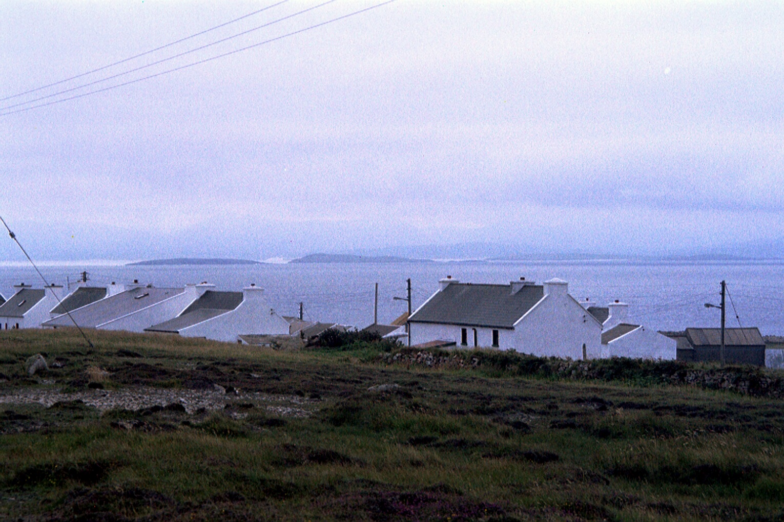 Man-made underground passage in An Gabhlán ThoirMan-made underground passage · 647 yd
 Fairy fort / stone ringfort in An Gabhlán ArdFairy fort / stone ringfort · 883 yd
 Séipéal Eoin Baiste [Catholic Church of Saint John the Baptist]church/chapel · 963 yd
 Lispole Ambush MonumentWayside cross · 1017 yd
 Lispole Viaductbridge · 1058 yd
 Cnoc an GhleannaMountain / peak · 2.0 mi
 Tobar EoinSpring · 2.0 mi
 Caisleán na Mine AirdeCastle · 2.0 mi
 Minard Castle (in ruins)Castle, tower house · 2.0 mi
 Cruach SceirdeMountain / peak · 2.0 mi
 CarrigavinnaunNamed rock · 2.5 mi
 Acres PointHeadland · 2.7 mi