What is recorded here
Two low grass banks stretch north from the graveyard wall in An Fál Mór, overriding the older ecclesiastical enclosure beneath them. They mark later field divisions rather than ancient ceremony, reminding us that even sacred ground eventually yields to ordinary farming and changing ownership.
In pasture, located immediately to N of a graveyard (MA033-001002-). Two low, grass-covered earthen banks (Wth on top, 1.4-1.9m; H 0.2-0.5m), set c. 24m apart, extend to N from the external face of the enclosing wall at the N side of the graveyard. The E bank extends 25m to N, and the W bank extends 40m. The E bank clearly overlies the early ecclesiastical enclosure (MA033-001008-). They appear to be the remains of field divisions post-dating the ecclesiastical enclosure, and probably also the graveyard wall, and may be of relatively recent date.
Compiled by: Jane O'Shaughnessy
Date of upload: 19 June 2018
The monument record does not grant public access. Check the route and ask the landowner before entering private land.
- What survives
- Recorded monument
Places near here
 Fallmore ChurchChurch · 26 yd
 St. Deriblas WellHoly well · 397 yd
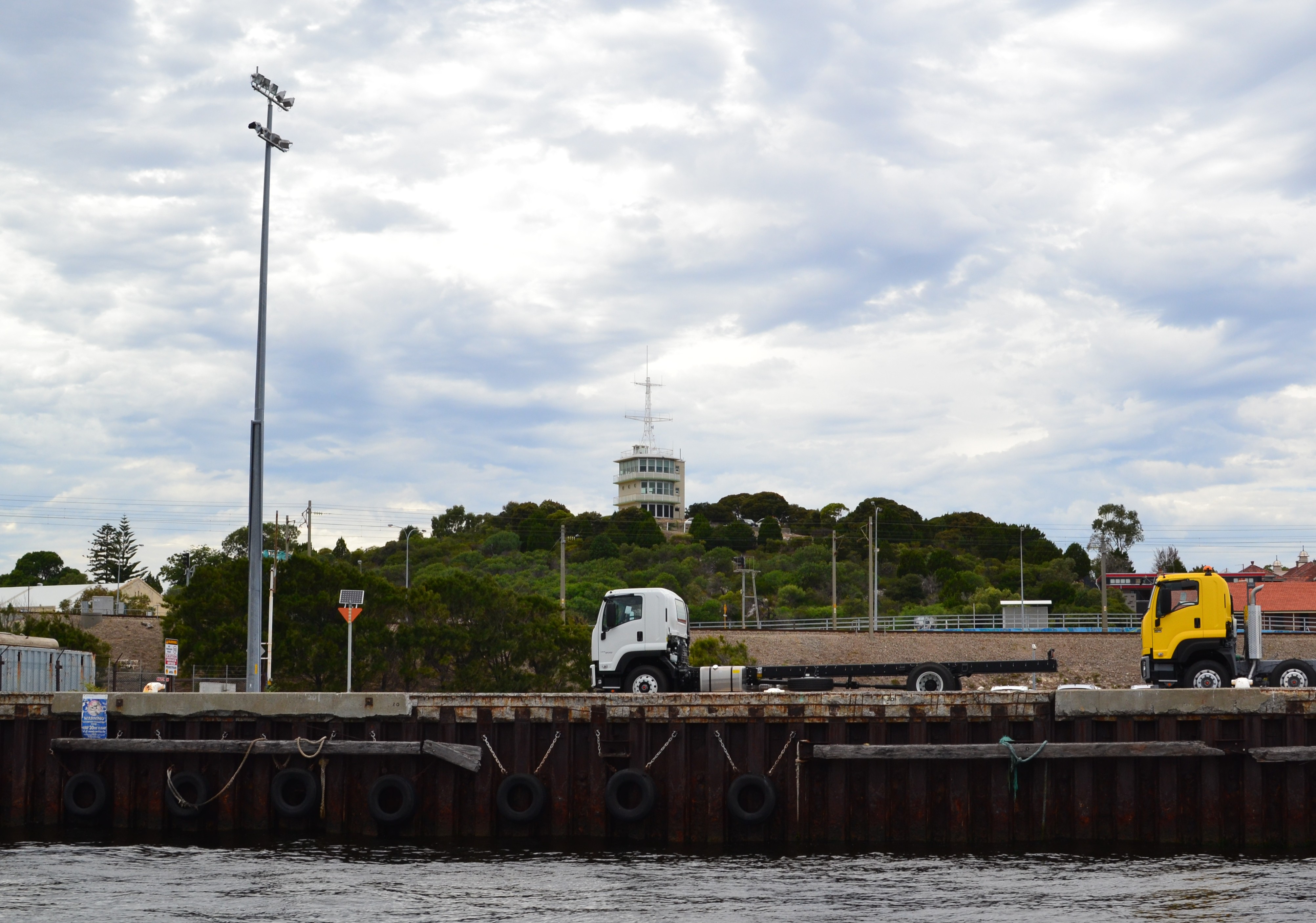 Termon Hill Signal StationRuins · 1271 yd
 Léim an ReitheIslet · 1.0 mi
 TermonEcclesiastical site · 1.1 mi
 Termon BeachBeach / strand · 1.4 mi
 CaolaighIslet · 1.9 mi
 Trá Mullach RuaBeach / strand · 3.3 mi
 Site of Redmond Barretts CastleCastle, unclassified · 3.4 mi
 Ceann FionnaltaHeadland · 4.7 mi
 Barranagh Castle in RuinsCastle, unclassified · 5.4 mi
 GubacregganmoreHeadland · 5.5 mi