What is recorded here
In an area of pastureland and outcropping limestone sloping to the SW. The M6 motorway runs immediately to the S of the field in which the monument lies. This subcircular enclosure (40.2m N-S; 37.4m E-W) is not marked on the OS maps but it is clearly visible on aerial photographs (https://binged.it/2oxnmh0 last accessed 29 March 2017) and it was previously noted by Sutton (2009, 187). It is defined by a bank of earth and stone (base Wth 3.2m; top Wth 1.3m; int. H 0.25m; ext. H 0.3m) from SW to N to SE. A small pit has been dug against its external face at N. At SE the bank is overgrown with thorn bushes and at SW it is defined by a broad tumbled spread of grass-covered boulders (Wth 3.5m; int. H 0.24m; ext. H 0.26m). There is no visible trace of a fosse. The interior slopes steeply to the S. A hut site (GA083-080001-) is visible in the NW quadrant. Meandering field walls associated with a possible field system (GA083-80001-) extend off it at NE and SE. Another levelled field wall, running roughly N-S across the field, is visible immediately to its W. A concentric enclosure (GA083-079----) lies c. 85m to the NE.
Compiled by: Olive Alcock
Date of upload: 29 March 2017
This remains an important historical record, but the official description says the monument is no longer visible or has been destroyed. The monument record does not grant public access. Check the route and ask the landowner before entering private land.
- What survives
- No visible remains or recorded as destroyed
Places near here
 Hut site in An Carn Mór ThiarHut site · 1 yd
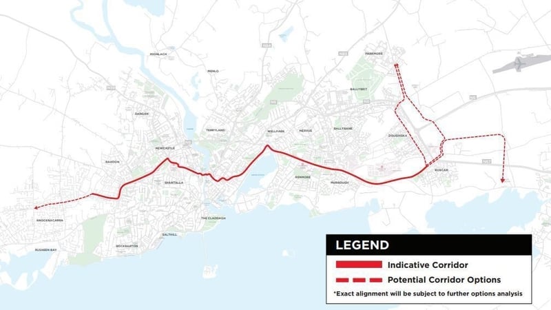 Field system in An Carn Mór ThiarField system · 80 yd
 Cloghmoyle Castle (in ruins)Castle, unclassified · 453 yd
 Quarry in Cashla (aughrim Ed )Quarry · 1.4 mi
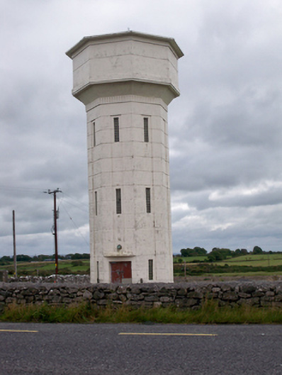 water towerwater tower · 1.9 mi
 Castle (in ruins)Castle, unclassified · 1.9 mi
 Aunteen WoodsWood · 4.5 mi
 Loughaun WoodWood · 4.6 mi
 Leadmine HillMountain / peak · 5.1 mi
 Rabbit IslandIslet · 5.6 mi
 Ardfry PointHeadland · 6.7 mi
 Mechanics InstituteMemorial · 7.0 mi