What is recorded here
Altagoaghan holds a standing stone from the prehistoric dawn, when people may have gathered beneath open sky to mark season, loss or belonging. The stone still stands in County Fermanagh, unchanged while empires, languages and borders came and went around it. It does not need a date to be ancient, nor a name for the hands that lifted it.
The official Northern Ireland record identifies this as STANDING STONE. Recorded period: PREHISTORIC; UNCERTAIN. The official map point was placed at the centre of the recorded archaeological site from the source map reference.
Likely dating to the Neolithic or Bronze Age, this standing stone may have functioned as a territorial marker, ceremonial monument, or astronomical alignment feature. No specific folklore or detailed use is recorded for this site.
The monument record does not grant public access. Check the route and ask the landowner before entering private land.
- What survives
- Recorded monument
Places near here
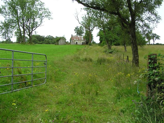 ENCLOSURE in AltagoaghanENCLOSURE · 624 yd
 Cooneen Parish ChurchChurch · 1541 yd
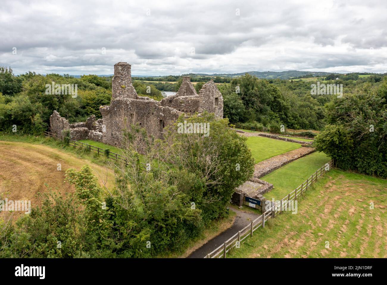 ENCLOSUREENCLOSURE, burial ground?: LISDEAN · 1.1 mi
 IRA MemorialMemorial · 2.7 mi
 Slieve BeaghMountain / peak · 3.2 mi
 Bunnisnagapple ForestForest · 3.2 mi
 Shane Barnagh's StablesRuins · 3.4 mi
 European ashEuropean ash · 3.5 mi
 Slieve Beagh SE TopMountain / peak · 3.7 mi
 "Fivemiletown Deli" G8 Virtual ShopHeritage attraction · 3.7 mi
 Sliabh Beagh Hotel and Tourism CentreVisitor information · 6.0 mi