What is recorded here
Indicated spans four and a half kilometres across Ailwee Hill, linking Gleninsheen to Kilweelran through a dense scatter of cairns, cashels and cooking pits. Its long axes suggest people read the hill as one continuous living space rather than a collection of separate fields. The land still holds that shape, waiting for someone to walk its lines and remember how much life fit inside them.
An extensive field system (c. 4.5km NE-SW; c. 2.6km NW-SE) visible on OS Aerial Premium (2012-2018) stretching from Gleninsheen at SW, across the whole of Ailwee Hill to Kilweelran at NE. Many cairns, fulachtaí fia, cashels, enclosures and hut sites lie within.
Compiled by: Mary Tunney
Date of upload: 17 August 2021
The monument record does not grant public access. Check the route and ask the landowner before entering private land.
- What survives
- Recorded monument
Places near here
 IndicatedEnclosure · 433 yd
 Enclosure in GleninsheenEnclosure · 854 yd
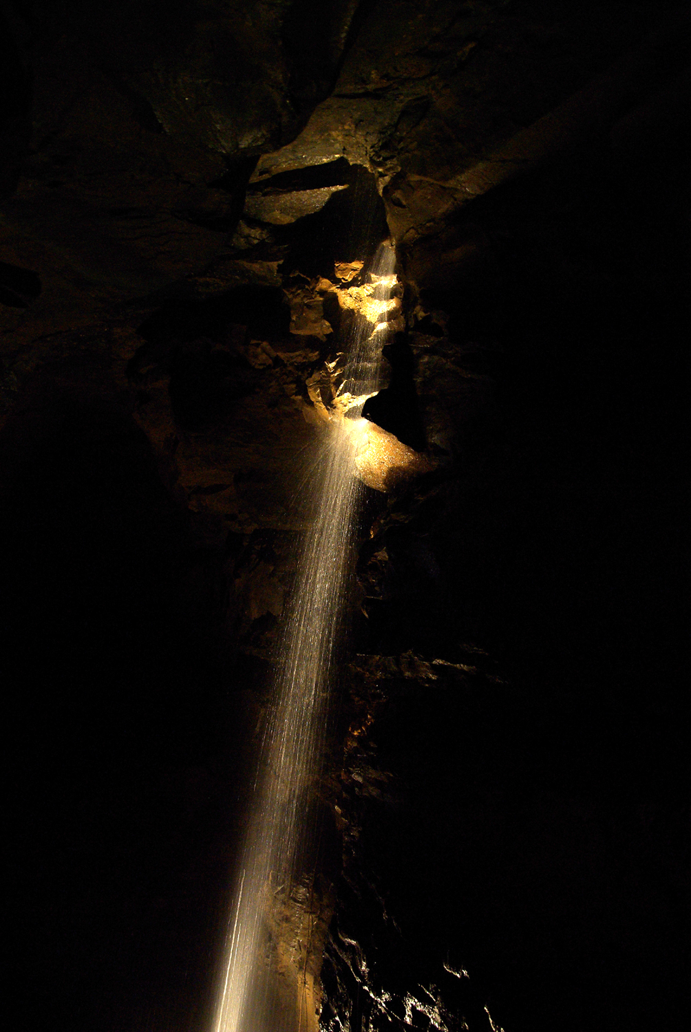 Aillwee CaveCave · 1.2 mi
 Aillwee Cave Visitor Centreheritage centre/interpretative centre · 1.2 mi
 Bird Of Prey CentreHeritage attraction · 1.4 mi
 Castle Mael (in ruins)Castle, unclassified · 1.6 mi
 Gleninshing portal tombHeritage attraction · 1.8 mi
 Turlough CastleArchaeological place · 2.0 mi
 PoulnabroneMemorial · 2.1 mi
 The Portal TombVisitor information · 2.5 mi
 Rathborney R.C. ChapelChurch · 2.6 mi
 Poulnabrone - Burren GeositeVisitor information · 2.6 mi