What is recorded here
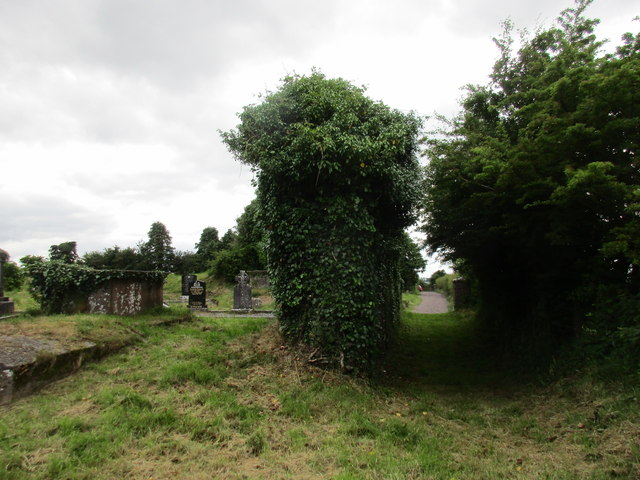
Grave Yard stands on a narrow ridge above the Lee valley, holding two stone-faced sections where the eastern church ruin still leans beside headstones reaching back to 1785. The western part, named Friar's Field on old maps despite no proven friary, keeps two low earthen mounds and a history so thin it may have been flax, a house, or forgotten prayer. People still bury the dead at its eastern edge, trusting the bank and silence to carry what records never captured.
On top of a E-W ridge, overlooking Lee valley to N. Approached by lane from road to W. Graveyard consists of two rectangular sections enclosed by earthen bank (H c. 1.5m); stone-faced externally, sloping down gently internally. Eastern section (c. 40m E-W; c. 35m N-S) contains fragmentary remains of parish church of Aglish (CO072-092004-), close to NW corner. Linear hollow (Wth 7m; D 0.95m) runs S from SW corner of church, immediately E of stone-faced earthen bank dividing E and W sections of graveyard. In occasional use; earliest headstone noted dated 1785, some chest tombs in vicinity of church ruin. Western section (c. 50m E-W; c. 60m N-S) named 'Friar's Field' on 1842, 1904 and 1938 OS 6-inch maps but no record of friary having existed here (Gwynn and Hadcock 1988); consists of level grassy area. Recent burials at E end; adjacent to these, on W side are two long low earthen mounds (N mound: c. 10m N-S; c. 2.5m E-W; H c. 0.3m. S mound: c. 9m N-S; c. 2.5m E-W; H c. 0.3m) of uncertain nature. Hartnett (1939, 111) noted 'traces of mounds' in this section, which are probably those described above. In 1700 reported that flax was growing in W section, which also contained foundation of house (Brady 1863, vol. 1, 2). Remains of early ecclesiastical enclosure (CO072-092001-) surround graveyard.
The above description is derived from the published 'Archaeological Inventory of County Cork. Volume 3: Mid Cork' (Dublin: Stationery Office, 1997). In certain instances the entries have been revised and updated in the light of recent research.
Date of upload/revision: 14 January 2009
The monument record does not grant public access. Check the route and ask the landowner before entering private land.
- What survives
- Recorded monument
Places near here
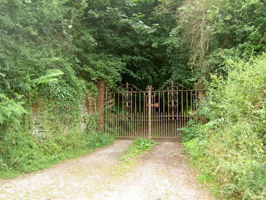 Aglish Housecountry house · 402 yd
 Fulacht FiadhFulacht fia · 543 yd
 Fulacht fia in CurrahalyFulacht fia · 1129 yd
 Farran WoodWood · 1242 yd
 Old Mansion HoCastle, Anglo-Norman masonry castle · 1270 yd
 monumentmonument · 1510 yd
 Coachford Greenway (End)Visitor information · 1.2 mi
 Sunday's WellSpring · 1.5 mi
 Kilcrea CastleWood · 2.3 mi
 Kilcrea Castle (in Ruins)Castle, tower house · 2.3 mi
 Bob AdamsMemorial · 3.5 mi
 Carrigadrohid CastleHeritage attraction · 4.0 mi
Other information
Photo: Jonathan Thacker · Creative Commons Attribution-ShareAlike 2.0