What is recorded here
Aghnahoo Glebe holds a settlement cluster where Termon McGrath castle rose in 1611, its stones ready and purpose proud. Cromwellian guns broke the north wall in 1649, leaving the tower ruined while the town and its draining lanes continued to mark the land. The castle’s fall did not erase the cluster; it redirected life around memory, stone and the ordinary work of keeping a place alive.
'The lands of Termon McGrath were granted to James, son of Archbishop Myler McGrath in 1610 (Hill 1877, 183-4). In 1611 Carew records that the 'Archbishop of Cashill hath begune a prittie castle at Termon Magragh w'ch he entends speedily to finish, havinge his materials ready at the place wher he meanes to buyld a bawne and finish the castle' (Hunter 1975, 82). In the campaign of 1649-50 Termon McGrath Castle was bombarded by Cromwellian troops and the N wall of the tower-house destroyed; it has remained a ruin ever since (Rowan 1979, 453)'.
'Tarmon McGragh Castle & Towne' is marked on the Down Survey (1655-6) map of the Parish of Cam, Barony of Tyrehugh. It appears that a small village grew up around the castle [DG105-014001- and DG105-014003-] (Ó Gallachair n.d. 17). A number of drains (DG105-014003-) criss-cross the area to the E and W of the roadway leading to the castle entrance and the aerial photograph (St. Joseph AJT 52) seems to show additional evidence of the layout of the 'town' or possibly of a garden.
The above description was derived from the 'Archaeological Survey of County Donegal. A description of the field antiquities of the County from the Mesolithic Period to the 17th century.' Compiled by: Brian Lacey with Eamon Cody, Claire Cotter, Judy Cuppage, Noel Dunne, Vincent Hurley, Celie O'Rahilly, Paul Walsh and Seán Ó Nualláin (Lifford: Donegal County Council, 1983). In certain instances the entries have been revised and updated.
Date of upload: 08 December 2011
The monument record does not grant public access. Check the route and ask the landowner before entering private land.
- What survives
- Recorded monument
Places near here
 Castle McGrathCastle · 66 yd
 Smiths RocksIsland · 973 yd
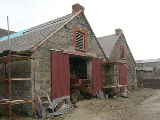 outbuildingoutbuilding · 1324 yd
 Teige's RockIsland · 1479 yd
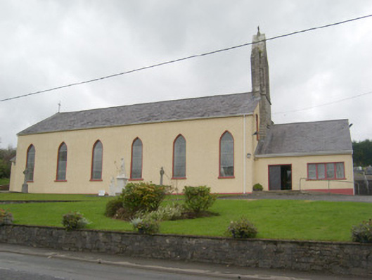 St. Mary's Catholic Churchchurch/chapel · 1.1 mi
 Drumharriff WoodForest recreation place · 1.1 mi
 ENCLOSURE in PortnablahyENCLOSURE · 1.3 mi
 Boa IslandIsland · 1.4 mi
 InishturkWood · 1.6 mi
 possible CHURCH SITE: KILL PARK in Ardshankillpossible CHURCH SITE: KILL PARK · 1.6 mi
 Derrin MountainMountain / peak · 2.1 mi
 STONE FIGURES IN CALDRAGH GRAVEYARD: BOA ISLAND in DreenanSTONE FIGURES IN CALDRAGH GRAVEYARD: BOA ISLAND · 2.2 mi