What is recorded here
In tillage, on a NE-facing slope. An oval spread (20m NNW-SSE; 16m ENE-WSW) of charcoal-enriched soil.
The above description is derived from 'The Archaeological Inventory of County Cork. Volume 5' (Dublin: Stationery Office, 2009).
Date of upload: 22 December 2009
The monument record does not grant public access. Check the route and ask the landowner before entering private land.
- What survives
- Recorded monument
Places near here
 Ballinadihy BridgeBridge · 644 yd
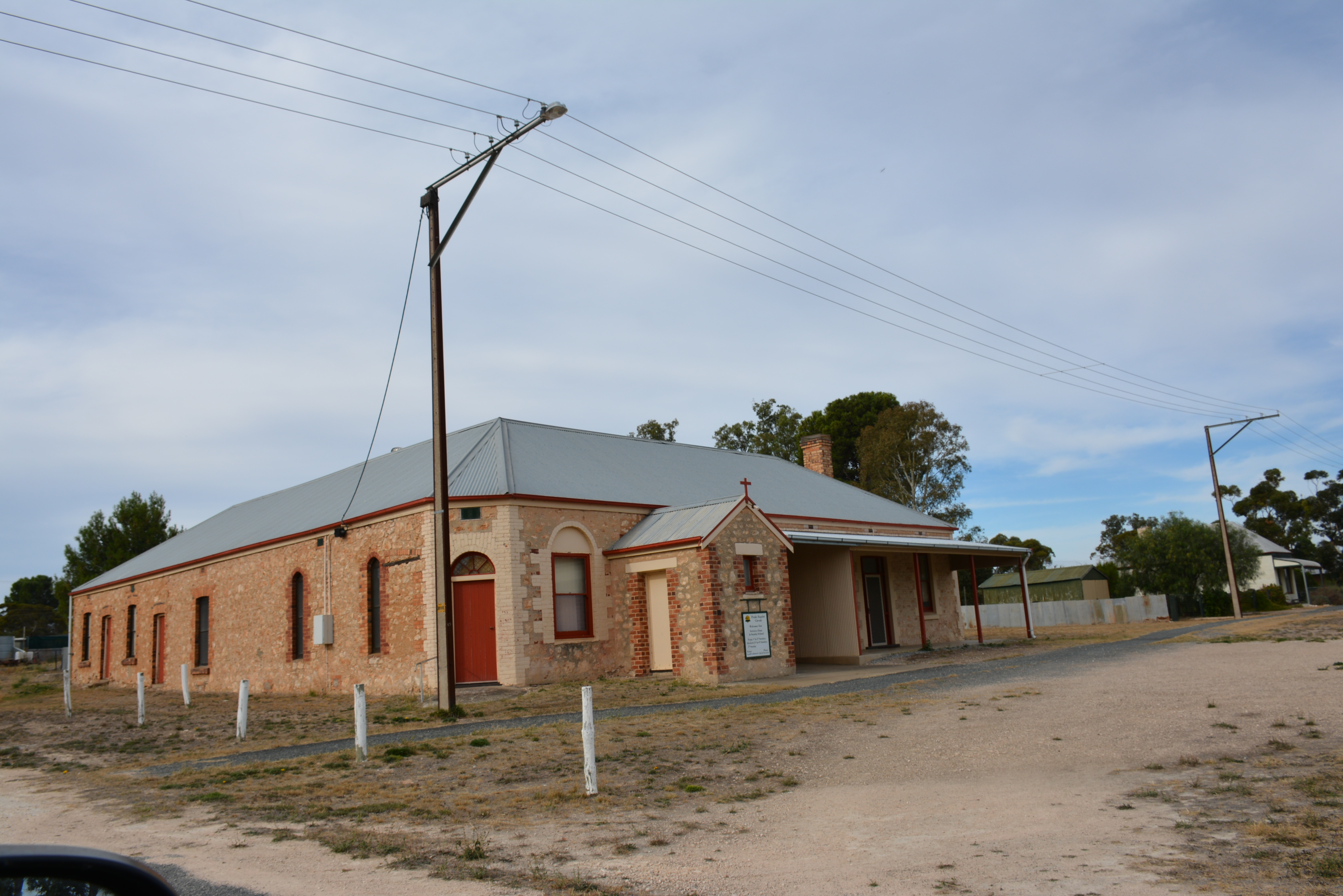 Peake HouseCountry house · 661 yd
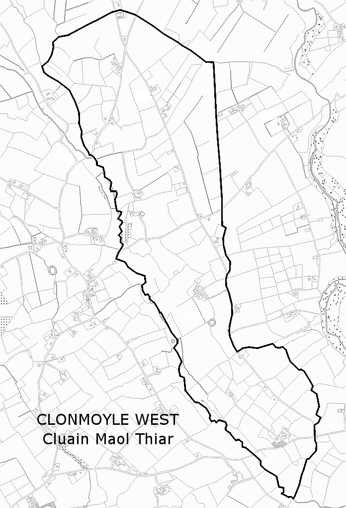 Man-made underground passage in Clonmoyle WestMan-made underground passage · 851 yd
 Fulacht fia in Clonmoyle EastFulacht fia · 1381 yd
 Oldcastle WoodWood · 1.1 mi
 Mullinhassig WoodWood · 1.7 mi
 Mullinhassig WaterfallWaterfall · 1.7 mi
 Carrignamuck Tower HouseCastle · 1.8 mi
 Old Mansion HoCastle, Anglo-Norman masonry castle · 3.1 mi
 Saint Bartholomew's WellSpring · 3.1 mi
 Carrigadrohid Castle InfoVisitor information · 3.4 mi
 Coachford Greenway (End)Visitor information · 3.4 mi