
What is recorded here
Indicated is a ghost fort in County Mayo, erased by plough and time but still drawn on old maps. It may have been a rath, a small circular home or marker on a rise, now reduced to grass and memory. The land keeps its shape only in the lines made by human hands, waiting for someone to imagine the life that disappeared.
In pasture, located on rise.
This enclosure, possibly a rath, is shown on the 1838 and 1919 OS 6-inch maps. On the 1919 edition it is depicted as a subcircular embanked enclosure (diam. 25-30m) with an external fosse, incorporated into a field fence at NW−NE. It has been levelled and there is no visible trace at ground level.
Compiled by: Jane O’Shaughnessy
Date of upload: 8 December 2021
Aghamore (Costello By.) is a possible early-medieval ringfort, indicated by a subcircular embanked enclosure with an external fosse, visible on 19th- and early 20th-century Ordnance Survey maps. Local tradition may associate such sites with fairy lore, as many raths in Ireland are believed to be dwellings of the "good people."
This remains an important historical record, but the official description says the monument is no longer visible or has been destroyed. The monument record does not grant public access. Check the route and ask the landowner before entering private land.
- What survives
- No visible remains or recorded as destroyed
Places near here
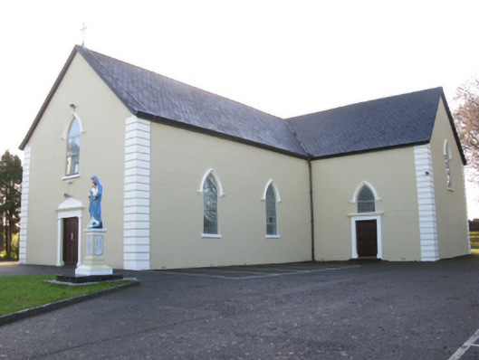 Saint Joseph's Catholic Churchchurch/chapel · 696 yd
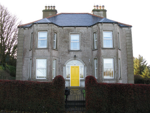 Tighe Achadh Mórhouse · 816 yd
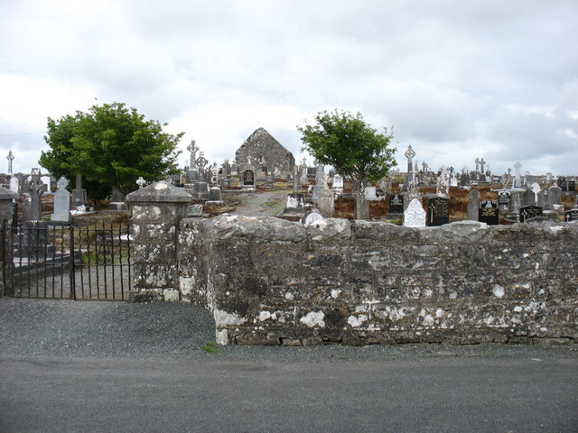 Grave YardGraveyard · 865 yd
 CashelFairy fort / stone ringfort · 873 yd
 Rath Castle in ruinsCastle, tower house · 1.1 mi
 CastleCastle, unclassified · 1.3 mi
 East Mayo Brigade MonumentMemorial · 2.9 mi
 Knock MuseumMuseum · 4.8 mi
 Knock ShrineHeritage attraction · 4.8 mi
 I'll Send You The FareMemorial · 7.7 mi
 Thorn CaveCave · 8.3 mi
 Oak WoodForest · 12 mi
Other information
Photo: Credit not shown in the picture search · Rights wording not checked; contact us if this picture should be removed