What is recorded here
Five burnt spreads mark the valley floor, but this one holds a horseshoe of fire-cracked stones around a rectangular patch of clean marly clay. The contrast suggests a trough once cut through the burning area, perhaps guiding water from the nearby spring or marking a boundary nobody wrote down. People may have gathered there to heat stones, cook food or transform materials while the clay resisted the flame. The shape still answers the hand that made it, even if the name and purpose have faded.
In a flat valley at the base of a NE-facing slope of a NW-SE ridge. There is a spring 20m to the WSW. One of five burnt spreads (KK042-054----; KK042-055----; KK042-056----; KK042-057----; KK042-058----) identified along this valley floor. A slightly raised mound (dims. 16.4m N-S; 13.2m E-W; H c. 0.2m on E side) of burnt material consisting of fire-cracked stones and charcoal in a black soil matrix. The mound forms a roughly horseshoe-shaped area around a roughly rectangular area (dims. c. 6m x 2.4m) of marly clay, which is not charcoal rich, in the NW portion. This may indicate the location of an associated trough.
Compiled by: Jean Farrelly
Date of upload: 10 August 2017
The monument record does not grant public access. Check the route and ask the landowner before entering private land.
- What survives
- Recorded monument
Places near here
 Silverspring Housefarmyard complex · 358 yd
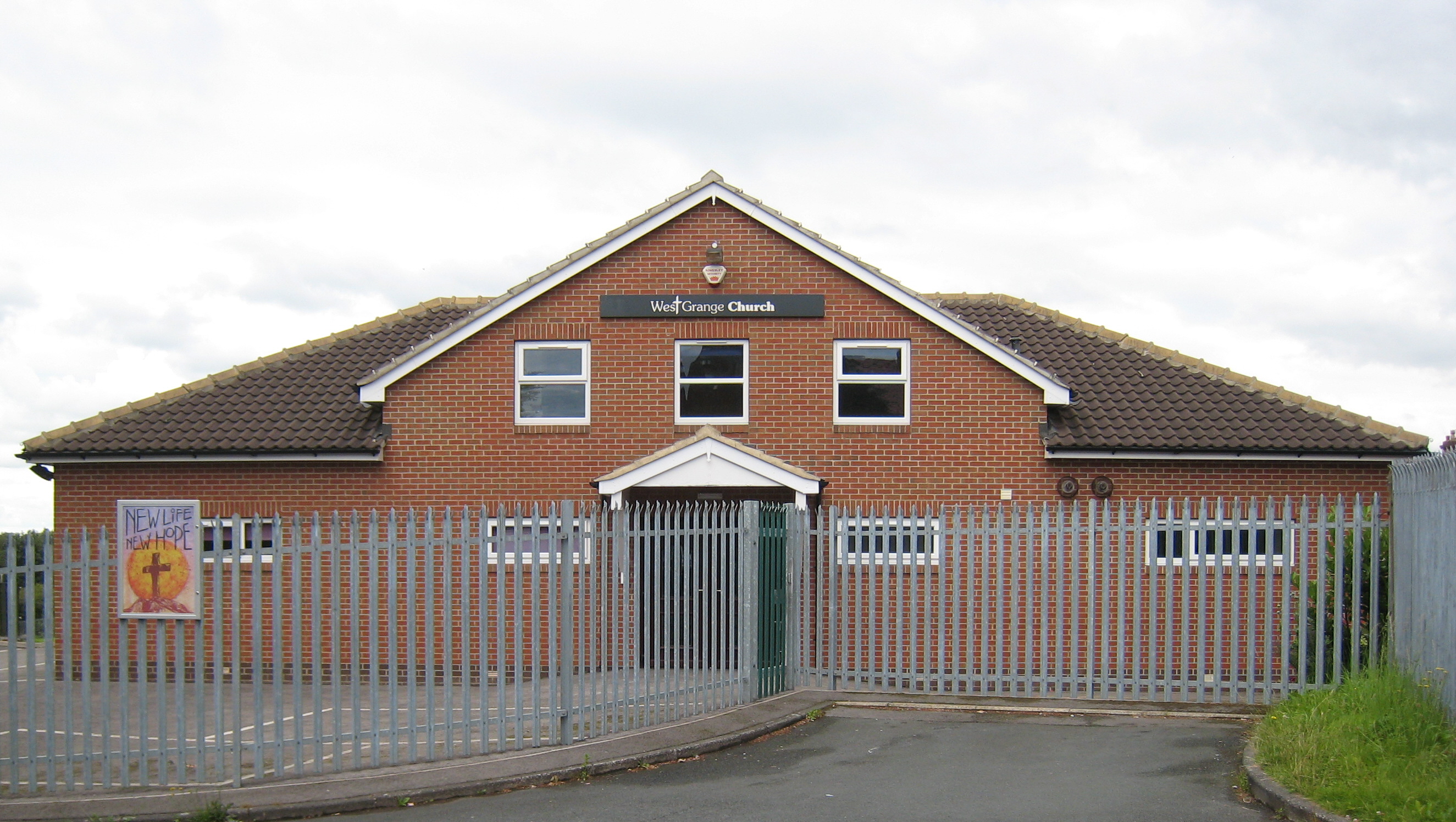 Church in Grange (iverk By.)Church · 754 yd
 CastleCastle, tower house · 1549 yd
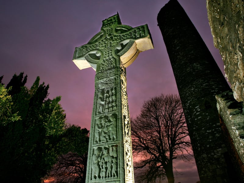 Sinnott's Cross MonumentMonument · 1.0 mi
 Clonconey House (site of)Archaeological place · 1.1 mi
 Ballynaboley WoodForest · 1.7 mi
 Gortrush WoodForest · 2.0 mi
 Rockets Castle (in ruins)Castle, tower house · 2.1 mi
 Portlaw Heritage CentreMuseum · 3.3 mi
 Tower HillMountain / peak · 3.8 mi
 Donnell's HillMountain / peak · 4.7 mi
 Waterford & Suir Valley RailwayHeritage attraction · 5.0 mi