What is recorded here
Adrigole harbour still reflects the slope where Grave Yd lies, a rectangular yard above the water with Puxley chest tombs and later stones. The church that once stood in its centre has vanished, leaving the dead to keep the sky and sea company. What is missing makes the place sharper: a room for prayer reduced to a field of names, still facing south into the light.
On S-facing slope overlooking Adrigole Harbour. Rectangular yard with late 19th and early 20th century headstones, chest tombs of Puxley family. No upstanding remains of C of I church indicated in centre of graveyard on OS 6-inch map (1842); described by Lewis (1837, vol. 2, 59) as 'small edifice with low square tower...built 1809'.
The above description is derived from the published 'Archaeological Inventory of County Cork. Volume 1: West Cork' (Dublin: Stationery Office, 1992). In certain instances the entries have been revised and updated in the light of recent research.
Date of upload/revision: 14 January 2009
The monument record does not grant public access. Check the route and ask the landowner before entering private land.
- What survives
- Recorded monument
Places near here
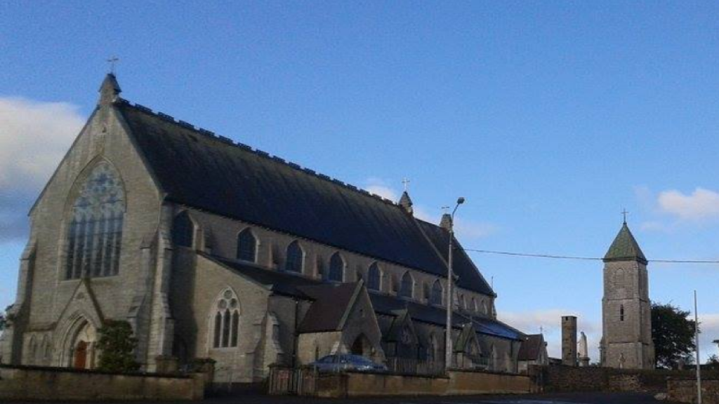 Church in AdrigoleChurch · 10 yd
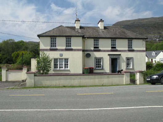 Adrigole Garda Síochána Stationgarda station/constabulary barracks · 182 yd
 Metal Foundry (in Ruins)Metalworking site · 347 yd
 Adrigole MountainMountain / peak · 1164 yd
 Boulder-burial in Cappaleigh NorthBoulder-burial · 1296 yd
 Orthon's IslandIslet · 1512 yd
 West Cork Sailing & Powerboating CentreHeritage attraction · 1621 yd
 Hungry Hill GalleryGallery · 1.0 mi
 Graveyard in DrumlaveGraveyard · 1.2 mi
 Mass MountMountain / peak · 1.5 mi
 Mare's Tail WaterfallViewpoint · 1.8 mi
 Loughure IslandIslet · 2.0 mi