What is recorded here
Excavated by Sarah McCutcheon (02E1214) during monitoring of the Croagh Sewerage Scheme. This is the record for 'The fourth burnt spread was the most complete to be excavated. It measured 10.5m east-west by 6.5-9.6m and was 0.21m deep. It included an oval trough, measuring 1.63m by 0.77m and up to 0.22m deep. The trough was lined on the base with wooden planks. Several small pits, post-holes and stake-holes were uncovered underneath the burnt-mound material.' This description is posted on the web at the following internet address (accessed 3 August 2012): http://www.excavations.ie/
Compiled by: Denis Power
Date of Upload: 8 August 2012
The monument record does not grant public access. Check the route and ask the landowner before entering private land.
- What survives
- Recorded monument
Places near here
 Fulacht fia in AdamswoodFulacht fia · 161 yd
 Church (in Rns)Church · 379 yd
 Grave YardGraveyard · 380 yd
 Castle (in ruins)Castle, unclassified · 396 yd
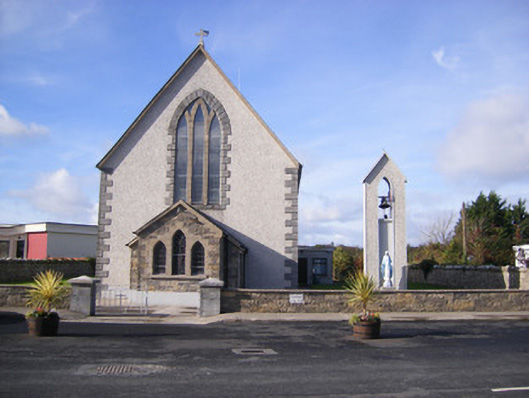 Catholic Church of Saint John the Baptistchurch/chapel · 511 yd
 Flat cemetery in CroaghFlat cemetery · 1.0 mi
 Clonshire CastleCastle · 1.3 mi
 Flat cemetery in Kiltenan SouthFlat cemetery · 1.6 mi
 Little HeavenHeritage attraction · 3.9 mi
 Kinnoor WellSpring · 4.0 mi
 GinkgoGinkgo · 4.1 mi
 European YewEuropean Yew · 4.1 mi