What is recorded here
Thirty metres northeast of the Cistercian abbey, a rectangular grave yard holds late-medieval slabs and a 17th-century memorial beneath a 19th-century stone wall. It is no longer used, yet the buried line remains visible: several lives marked across centuries, one high cross removed to Abbeyshrule, and quiet land kept separate from the church by distance and boundary.
Circa 30m to the NE of the Cistercian abbey (LF023-113----). This rectangular burial ground(100m NE-SW; 62m NW-SE) is enclosed by a 19th-century stone wall. It is no longer is use and memorials date from the 17th to the 20th centuries. A possible cross-slab (LF023-113003-), four late-medieval graveslabs (LF023-113004-, LF023-113010-, LF023-113011-, LF023-113012-), an architectural fragment (LF023-113005-) and a 17th-century graveslab (LF023-113007-) are located within it. A high cross (LF023-113006-) formerly located here was moved to the sacristy of the RC church in Abbeyshrule (see LF023-129----).
Compiled by: Patrick F. O'Donovan, Caimin O'Brien
Date of upload: 4 June 2013
The monument record does not grant public access. Check the route and ask the landowner before entering private land.
- What survives
- Recorded monument
Places near here
 Cross in AbbeyshruleCross · 25 yd
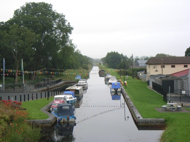 Abbeyshrule (in Ruins)Religious house, Cistercian monks · 111 yd
 Abbeyshrule AbbeyRuins · 135 yd
 Common LimeCommon Lime · 154 yd
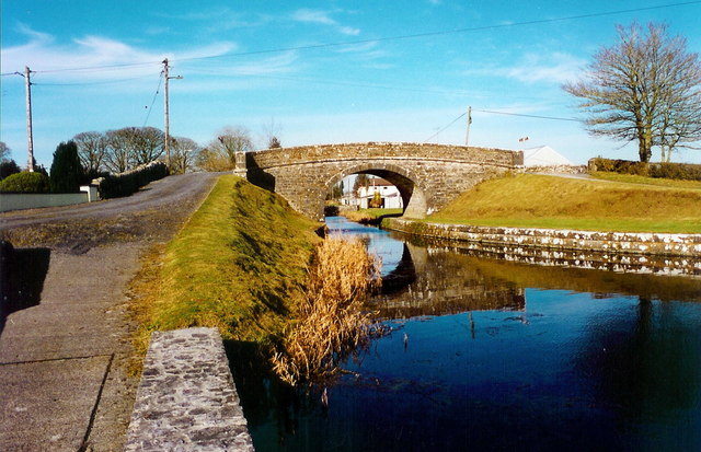 Abbeyshrule Bridgebridge · 249 yd
 Mound in ClynanMound · 1147 yd
 European BeechEuropean Beech · 1.4 mi
 Goldsmith Birthplace, PallasVisitor information · 2.2 mi
 Craft WorkshopHeritage attraction · 2.5 mi
 Guest ServicesVisitor information · 2.6 mi
 Not locatedCastle, unclassified · 2.8 mi
 Site of CastleCastle, unclassified · 3.2 mi