What is recorded here
SWR297 marks an unknown obstruction in County Down waters, recorded at just one metre depth. The shallowness suggests a rock, a broken keel or a discarded post rather than a deep ship loss. Anyone sailing past that coast must still respect the marker, because the smallest wreck can open the largest hole.
The official Northern Ireland wreck record identifies Recorded wreck SWR297 as Unknown (obstruction?). It was lost in Unknown. Recorded depth: 1m.
A wreck point does not grant access or permission to dive, enter land, disturb the site or recover anything. Check current law and local conditions first.
Places near here
 Cranes' CornerHeadland · 419 yd
 QUAY in CastlewardQUAY · 530 yd
 Boat HouseBoat House · 540 yd
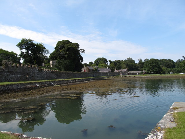 STONE QUAY in CastlewardSTONE QUAY · 738 yd
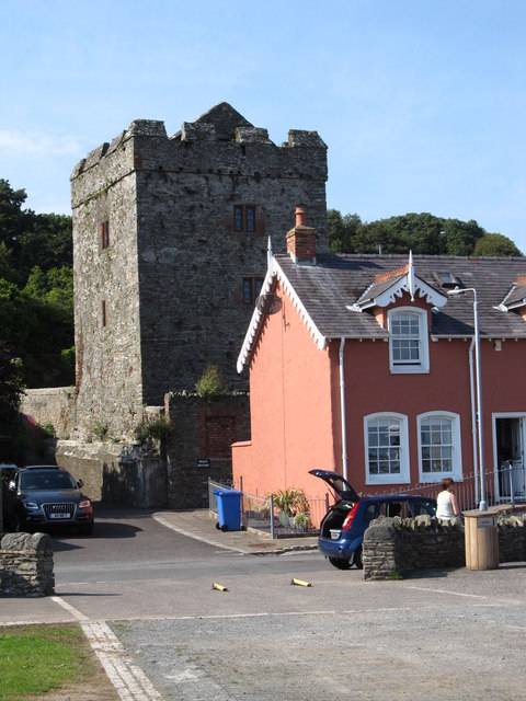 TOWER-HOUSE: STRANGFORD CASTLE in Strangford LowerTOWER-HOUSE: STRANGFORD CASTLE · 782 yd
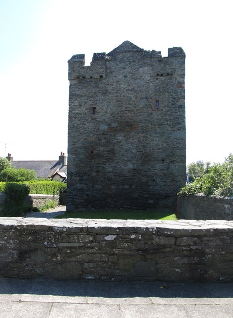 Strangford CastleCastle · 784 yd
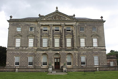 Castle WardCastle · 828 yd
 Strangford Presbyterian ChurchChurch · 842 yd
 Audley's CastleHeritage attraction · 854 yd
 Swan IslandIslet · 960 yd
 Audleystown WoodWood · 1057 yd
 Castle Ward ForestForest · 1.1 mi