What is recorded here
SWR348 is not a ship at all but a wooden platform with upstanding X-shaped members and a nav light base, sunk 11m off County Derry. The wreck label is a mistake; the shape is a marker, a jetty or a small harbour fixture that fell or was dropped into the sea. Whatever it marked, the sea took the whole arrangement and left the bones standing on the seabed.
The official Northern Ireland wreck record identifies Recorded wreck SWR348 as Wooden platform rather than vessel?. It was lost in Unknown. Recorded depth: 11m. Recorded condition: Wreckage on seabed, upstanding X-shaped members. Nav light base?.
A wreck point does not grant access or permission to dive, enter land, disturb the site or recover anything. Check current law and local conditions first.
Places near here
 Siege of Derry Boom Stone"The Boom Stone" (Traditionally part of 17th century boom across the River Foyle during the Siege of Derry) · 535 yd
 A.P. SITEA.P. SITE, oval enclosure · 609 yd
 CHURCH, GRAVEYARD & possible ENCLOSURE (from APs): DERGBRUAGH in GranshaCHURCH, GRAVEYARD & possible ENCLOSURE (from APs): DERGBRUAGH · 1108 yd
 BrookhallCountry House · 1457 yd
 CHURCH & GRAVEYARD: ENAGH or DOMNACH DOLA in TempletownCHURCH & GRAVEYARD: ENAGH or DOMNACH DOLA · 1.1 mi
 St. Columb's Park HouseHotel · 1.2 mi
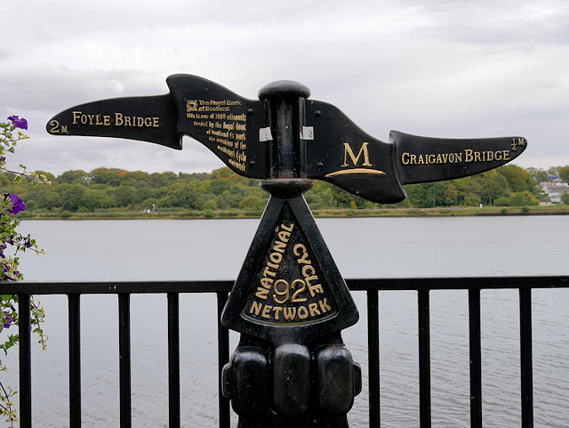 Millennium MilepostVisitor information · 1.6 mi
 Tower MuseumMuseum · 1.7 mi
 TOWER-HOUSE: O'DOHERTY'S CASTLE or THE MAGAZINE in Derry; LondonderryTOWER-HOUSE: O'DOHERTY'S CASTLE or THE MAGAZINE · 1.8 mi
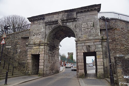 Siege of DerrySiege and battlefield · 1.8 mi
 Diamond War MemorialMemorial · 1.9 mi
 Museum of Free DerryMuseum · 1.9 mi