What is recorded here
SWR351 is an iron or steel vessel lost off County Derry, buried under ten metres of water. Only a curved beam and scattered metal remain, stripped of name and date by the sea. The ocean took its logs, its crew and its purpose, leaving behind a shape that might have been a rib or a rail. What is left is enough to know the vessel existed and the sea changed it.
The official Northern Ireland wreck record identifies Recorded wreck SWR351 as Iron/Steel Vessel. It was lost in Unknown. Recorded depth: 10m. Recorded condition: Isolated metal wreckage (curved beam?).
A wreck point does not grant access or permission to dive, enter land, disturb the site or recover anything. Check current law and local conditions first.
Places near here
 Harbour HillViewpoint · 196 yd
 Portstewart War MemorialMemorial · 301 yd
 Portstewart Presbyterian ChurchChurch · 457 yd
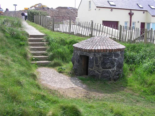 HOLY WELL: TUBBER PATRICK in Crossreagh EastHOLY WELL: TUBBER PATRICK · 1.0 mi
 Rinagree PointViewpoint · 1.3 mi
 Portstewart StrandBeach / strand · 1.5 mi
 CASTLE & SETTLEMENT SITE (unlocated) in GlebeCASTLE & SETTLEMENT SITE (unlocated) · 1.6 mi
 TRIANGULAR ENCLOSURE & TWO CAIRNS: CRAIG-AN-ARIFF FORT (destroyed) in CarnaneeTRIANGULAR ENCLOSURE & TWO CAIRNS: CRAIG-AN-ARIFF FORT (destroyed) · 2.0 mi
 Castlerock BeachBeach / strand · 2.7 mi
 PORTRUSH CASTLE (SITE OF) in PortrushPORTRUSH CASTLE (SITE OF) · 2.9 mi
 Hezlett HouseHeritage attraction · 3.4 mi
 CHURCH & GRAVEYARD: BALLYWILLIN in GlebeCHURCH & GRAVEYARD: BALLYWILLIN · 3.5 mi