What is recorded here
Scotland's National Record of the Historic Environment records Reading as Steamship (period Unassigned)-(1913). The official map says its point is accurate as follows: NGR given to the nearest 1m. The record does not by itself mean that the public may enter the place.
The *Reading* was a steamship built in 1913; it sank in Scottish waters, though the exact date and cause of its loss remain unspecified. No details on casualties, cargo, or broader historical significance are recorded.
The historic-place record does not grant public access. Check current conditions and ownership before entering land or a building.
Places near here
 Kearney Coastal Walk, KearneyWalking route · 1.8 mi
 Enclosure in BallyspurgeEnclosure · 1.9 mi
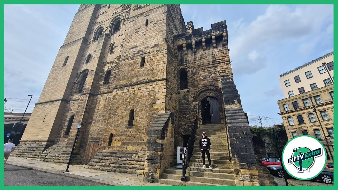 CASTLE in NewcastleCASTLE · 2.2 mi
 FORTIFIED HOUSE & BAWN: THE WHITE HOUSE in BallyspurgeFORTIFIED HOUSE & BAWN: THE WHITE HOUSE · 2.5 mi
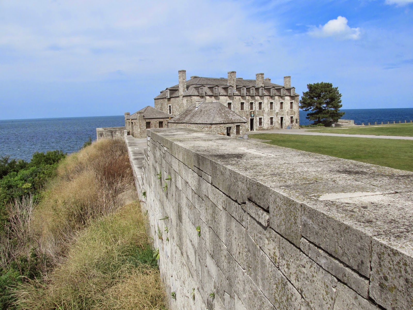 ENCLOSURE: OLD FORT in Ballygarvigan; BallyrusleyENCLOSURE: OLD FORT · 3.0 mi
 Quintin CastleCountry House · 3.1 mi
 TOWER-HOUSE: CASTLEBOY in CastleboyTOWER-HOUSE: CASTLEBOY · 3.6 mi
 MEDIEVAL CHURCH & GRAVEYARD: BALLYTRUSTAN; THRUSTAYNISTONE in BallytrustanMEDIEVAL CHURCH & GRAVEYARD: BALLYTRUSTAN; THRUSTAYNISTONE · 4.4 mi
 Corrog WoodWood · 4.6 mi
 Ballyquintin Point Nature ReserveNature reserve · 5.4 mi
 Pherson's IslandIsland · 5.5 mi
 Swan IslandIslet · 5.6 mi