What is recorded here
Scotland's National Record of the Historic Environment records Raylight as Motor Vessel (period Unassigned)-(1975). The official map says its point is accurate as follows: NGR given to the nearest 1m. The record does not by itself mean that the public may enter the place.
The *Raylight* was a motor vessel, recorded in Scotland's National Record of the Historic Environment with an unassigned period, though associated with the year 1975. Little is known about its loss, but its precise location on the map suggests it may hold archaeological or historical significance for local maritime studies.
The historic-place record does not grant public access. Check current conditions and ownership before entering land or a building.
Places near here
 Ballygalley HeadCliff · 5.0 mi
 CairncastleRuins · 5.0 mi
 Blackcave TunnelTunnel · 5.3 mi
 Garden TrailWalking route · 5.4 mi
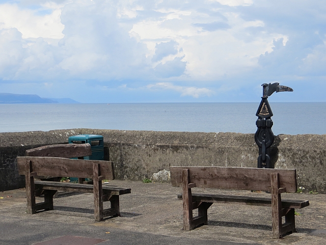 Millennium MilepostVisitor information · 5.5 mi
 Ballygally CastleHeritage attraction · 5.6 mi
 Hillmount HouseCastle · 5.6 mi
 FONT & ARCHITECTURAL FRAGMENTS in BallygalleyFONT & ARCHITECTURAL FRAGMENTS · 5.7 mi
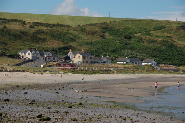 Browns bay walkBeach / strand · 5.7 mi
 North HeadHeadland · 5.7 mi
 Isle of MuckIsland · 5.9 mi
 CASTLE in PortmuckCASTLE · 5.9 mi